Headington Road, Oxford
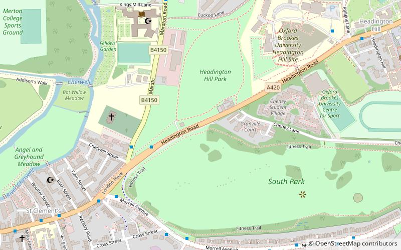
Map
Gallery
Facts and practical information
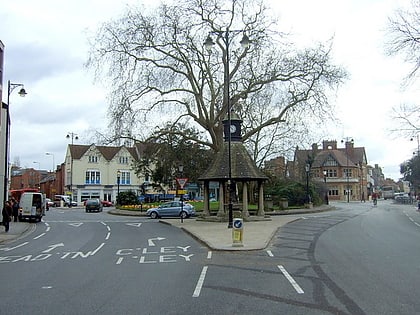
Headington Road is an arterial road in the east of Oxford, England. The road connects the junction of St Clements and Marston Road with the suburb of Headington, up Headington Hill. When it reaches the Headley Way junction, it becomes London Road, as the Boundary Brook runs under the road at this point. ()
Coordinates: 51°45'11"N, 1°14'2"W
Address
St. Clement'sOxford
ContactAdd
Social media
Add
Day trips
Headington Road – popular in the area (distance from the attraction)
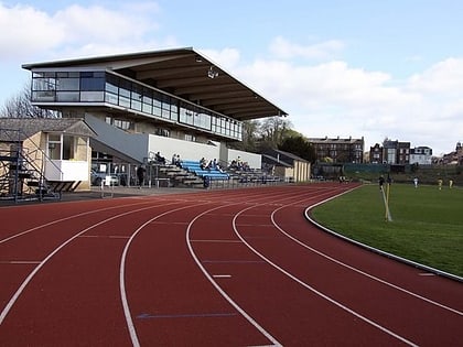
Nearby attractions include: O2 Academy Oxford, Roger Bannister running track, Magdalen Bridge, Ultimate Picture Palace.
Frequently Asked Questions (FAQ)
Which popular attractions are close to Headington Road?
Nearby attractions include Headington Hill Park, Oxford (3 min walk), St Clement's Church, Oxford (5 min walk), South Park, Oxford (5 min walk), Oxford Spanish Civil War memorial, Oxford (5 min walk).
How to get to Headington Road by public transport?
The nearest stations to Headington Road:
Bus
Bus
- Glebe Street • Lines: U1, X3 (6 min walk)
- Kings Mill Lane • Lines: X3 (7 min walk)

