Mesopotamia, Oxford
Map
Gallery
Facts and practical information
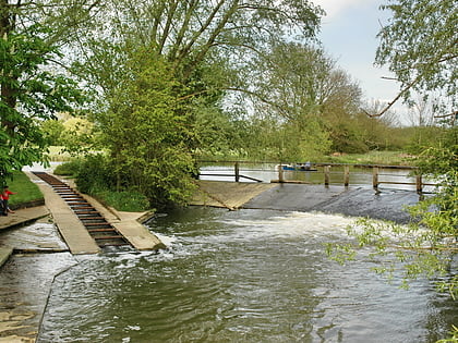
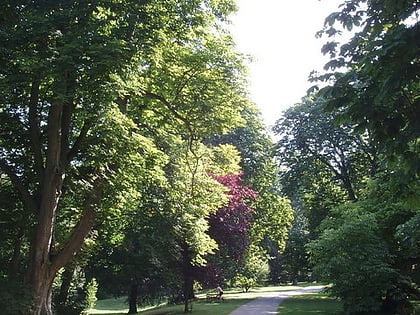
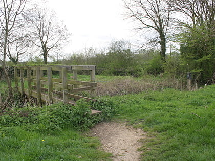
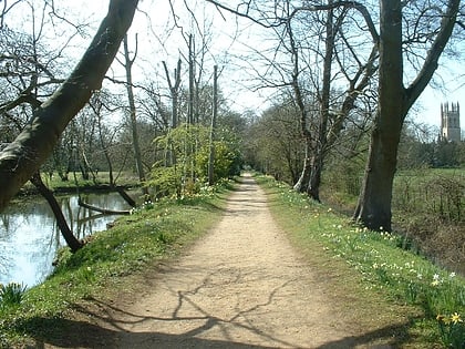
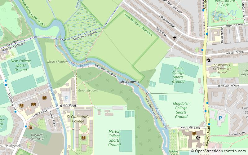
Mesopotamia is a narrow ait that forms part of the University Parks in Oxford, England. It lies between the upper and lower levels of the River Cherwell which are partly interspersed with the Thames. The name Mesopotamia in Greek means "between the rivers", and is shared with an area between the Tigris and Euphrates rivers in present-day Iraq. ()
Elevation: 197 ft a.s.l.Coordinates: 51°45'30"N, 1°14'29"W
Address
MarstonOxford
ContactAdd
Social media
Add
Day trips
Mesopotamia – popular in the area (distance from the attraction)
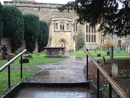
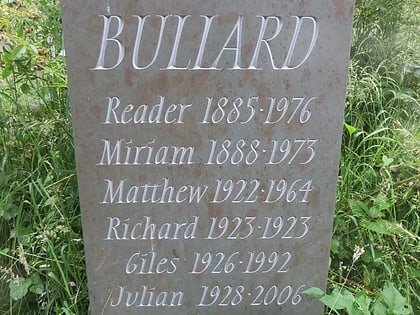
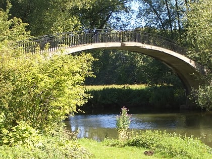
Nearby attractions include: St Peter-in-the-East, St Cross Church, Holywell Cemetery, Rainbow Bridge.
Frequently Asked Questions (FAQ)
Which popular attractions are close to Mesopotamia?
Nearby attractions include St Catherine's College, Oxford (5 min walk), Manor Road, Oxford (7 min walk), Bodleian Law Library, Oxford (8 min walk), Holywell Cemetery, Oxford (8 min walk).
How to get to Mesopotamia by public transport?
The nearest stations to Mesopotamia:
Bus
Bus
- Ferry road • Lines: X3 (7 min walk)
- Clive Booth Hall • Lines: X3 (7 min walk)
