Island I Vow, Loch Lomond and The Trossachs National Park
#29 among attractions in Loch Lomond and The Trossachs National Park
![Island I Vow location map](https://tzmedia.b-cdn.net/media/images/static-maps/gb/56_27778_-4_69722.jpg)
Facts and practical information
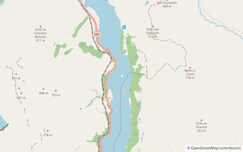
Eilean I Vow is a small island in Loch Lomond in west central Scotland. Other variants of the name include Ellan I Vow, Eilean a' Vow, Elanvow, Ellan Vhow and Island I Vow. The island is listed in 13th/14th century charters as "Elanvow". ()
Loch Lomond and The Trossachs National Park United Kingdom
Loch Lomond and The Trossachs National Park plan & book
Unleash the traveler in you — discover the cheapest flight deals, find the perfect hotel or hostel nearby, and search for the best car rental prices. Travel at your own pace to discover new places and enjoy your journey.
Island I Vow – popular in the area (distance from the attraction)
Nearby attractions include: The Cobbler, Beinn Narnain, Ben Vane, Falls of Falloch.
6.2 miSWDistinctive mountain reaching 884m highThe Cobbler, Tarbet
158 min walk • The Cobbler is an 884 metres mountain located near the head of Loch Long in Argyll and Bute, Scotland. It is a Corbett, and is an important site for rock climbing in the Southern Highlands.
5.3 miSWNature, Natural attraction, MountainBeinn Narnain, Loch Lomond and The Trossachs National Park
136 min walk • Beinn Narnain is a mountain in the southern Highlands of Scotland, near Arrochar. It forms part of a group of hills known as the Arrochar Alps, and is a Munro. The name Beinn Narnain means "hill of notches", and describes the mountain's notched profile. Beinn Narnain is usually climbed from Succoth at the head of Loch Long.
3.8 miSWNature, Natural attraction, MountainBen Vane, Loch Lomond and The Trossachs National Park
97 min walk • Ben Vane is a Scottish mountain situated in the southern Highlands. The underlying geology almost entirely comprises the Beinn Bheula Schist Formation - psammite and pelite with a Siluro-Devonian dyke prominent round the northern and eastern face.
5 miNNatural attraction, Park, View pointFalls of Falloch, Loch Lomond and The Trossachs National Park
128 min walk • Falls of Falloch is a waterfall and local beauty spot on the river Falloch off the A82. It is 7 km south-west of the village of Crianlarich in the county of Stirling in Scotland. It is also on the West Highland Way.
5.4 miSWNature, Natural attraction, MountainBeinn Ìme, Loch Lomond and The Trossachs National Park
138 min walk • Beinn Ìme is the highest mountain in the Arrochar Alps, in the Southern Highlands of Scotland. There are three usual routes of ascent.
2 miSAreaInveruglas Isle, Loch Lomond and The Trossachs National Park
53 min walk • Inveruglas Isle is a small uninhabited island within Loch Lomond, and lies off the shore at Inveruglas opposite Inversnaid at the north end of the loch. It is opposite the Loch Sloy powerstation.
5.7 miNEMountainStob a' Choin, Loch Lomond and The Trossachs National Park
146 min walk • Stob a'Choin is a mountain in the Grampian Mountains, Scotland, north of Loch Katrine in the Loch Lomond and The Trossachs National Park. The nearest village is Balquhidder.
2.2 miWNature, Natural attraction, MountainBen Vorlich, Ardlui
57 min walk • Ben Vorlich is a Scottish mountain situated between the northernmost section of Loch Lomond and Loch Sloy. It is one of the Arrochar Alps, though it lies separate from the other peaks in the range, as indicated by the large topographic prominence.
5 miNENature, Natural attraction, MountainAn Caisteal, Loch Lomond and The Trossachs National Park
129 min walk • An Caisteal is a Scottish mountain situated six kilometres south of the village of Crianlarich in the Stirling Council area.
1.5 miEMountainBeinn a' Chòin, Loch Lomond and The Trossachs National Park
39 min walk • Beinn a' Choin is a mountain in the Grampian Mountains of Scotland. It lies on the border of the Stirling region and Argyll at the northern end of Loch Lomond. A rugged and wild mountain of rocks and moorland lying north of Ben Lomond, it usually climbed from the small settlement of Inversnaid.
5.1 miNENature, Natural attraction, MountainBeinn a' Chroin, Loch Lomond and The Trossachs National Park
130 min walk • Beinn a' Chroin is a Scottish mountain located six kilometres south of Crianlarich in the Stirling Council area. With a height of 941.4 metres it qualifies as a Munro.