King Mojo Club, Sheffield
Map
Facts and practical information
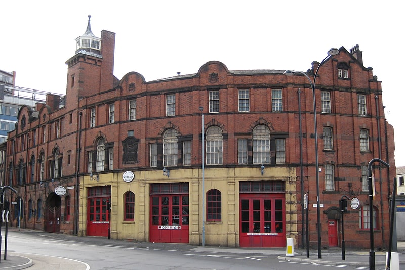
The King Mojo Club, often known as the Mojo, was a nightclub in Pitsmoor, Sheffield, South Yorkshire, England located at 555 Pitsmoor Road, that operated between 1964 and 1967. ()
Coordinates: 53°24'4"N, 1°27'53"W
Address
BurngreaveSheffield
ContactAdd
Social media
Add
Getting there by public transportation
Public transportation stops near this location
- Bus
- Tram
 Bus
Bus
- Calculate routeBarnsley Road/Firshill Close 2 min walk
- Calculate routeBurngreave Road/Pitsmoor Road 3 min walk
- Calculate routePitsmoor Road/Pinfold Lane 3 min walk
- Calculate routeInfirmary Road 26 min walk
- Calculate routeShalesmoor 26 min walk
- Calculate routeLangsett / Primrose View 28 min walk
- Calculate routeBamforth Street 30 min walk
Day trips


Frequently Asked Questions (FAQ)
Which popular attractions are close to King Mojo Club?
Nearby attractions include Abbeyfield Park, Sheffield (2 min walk), Christ Church, Sheffield (7 min walk), Parkwood Springs MTB trail, Sheffield (9 min walk), Sheffield urban area, Sheffield (15 min walk).
How to get to King Mojo Club by public transport?
The nearest stations to King Mojo Club:
Bus
Tram
Bus
- Barnsley Road/Firshill Close • Lines: 1, 11, 11A, 20, 75, 76, 83, 83a, 88 (2 min walk)
- Burngreave Road/Pitsmoor Road • Lines: 1, 11, 11A, 20, 75, 76, 88 (3 min walk)
Tram
- Infirmary Road • Lines: Blue, Yell (26 min walk)
- Shalesmoor • Lines: Blue, Yell (26 min walk)