Leith Walk, Edinburgh
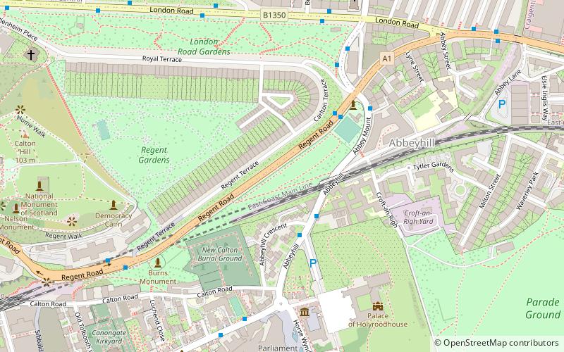
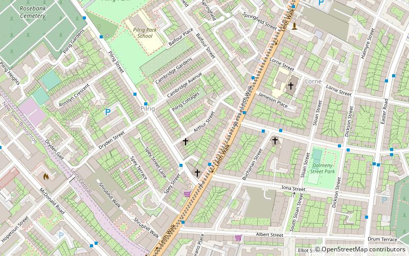
Map
Gallery
Facts and practical information
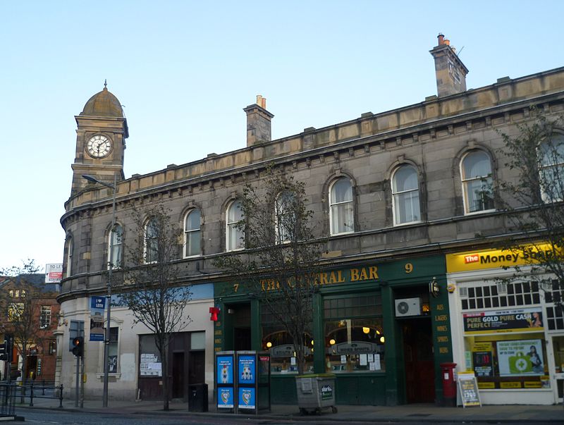
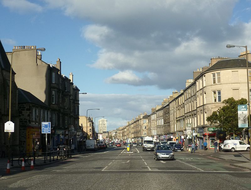
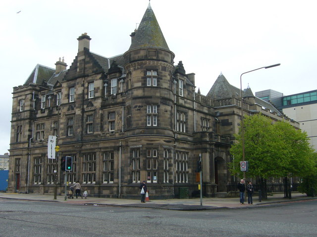
Leith Walk is one of the longest streets in Edinburgh, Scotland, and is the main road connecting the port area of Leith to the centre of the city. Forming the majority of the A900 road, it slopes upward from 'the Foot of the Walk' at the north-eastern end of the street, where Great Junction Street, Duke Street and Constitution Street meet, to the Picardy Place roundabout at the south-western end. ()
Coordinates: 55°57'44"N, 3°10'49"W
Address
Leith (Pilrig)Edinburgh
ContactAdd
Social media
Add
Day trips
Leith Walk – popular in the area (distance from the attraction)
Nearby attractions include: Calton Hill, St. James Centre, Easter Road Stadium, Collective.
Frequently Asked Questions (FAQ)
Which popular attractions are close to Leith Walk?
Nearby attractions include McDonald Road Library, Edinburgh (2 min walk), Pilrig, Edinburgh (4 min walk), Rhubaba Gallery and Studios, Edinburgh (6 min walk), St Andrew's Ukrainian Catholic Church, Edinburgh (7 min walk).
How to get to Leith Walk by public transport?
The nearest stations to Leith Walk:
Bus
Tram
Train
Bus
- Shrubhill • Lines: 49 (1 min walk)
- Hopetoun Crescent • Lines: 10 (3 min walk)
Tram
- St Andrew Square • Lines: Edinburgh Trams Eastbound, Edinburgh Trams Westbound (18 min walk)
- Princes Street • Lines: Edinburgh Trams Eastbound, Edinburgh Trams Westbound (26 min walk)
Train
- Edinburgh Waverley (21 min walk)


