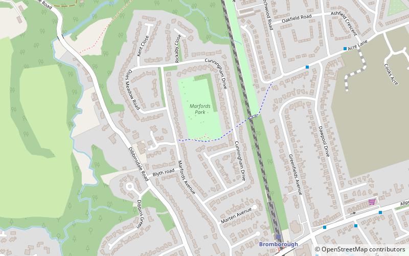
Marfords Park, Liverpool
Map
Facts and practical information
Marfords Park is a park located in Bromborough, Wirral, England. ()
Elevation: 105 ft a.s.l.Coordinates: 53°19'28"N, 2°59'24"W
Address
Liverpool
ContactAdd
Social media
Add
Getting there by public transportation
Public transportation stops near this location
- Train
 Train
Train
- Calculate routeBromborough 6 min walk
- Calculate routeBromborough Rake 11 min walk
- Calculate routeSpital 28 min walk
- Calculate routeEastham Rake 32 min walk
Day trips


Frequently Asked Questions (FAQ)
Which popular attractions are close to Marfords Park?
Nearby attractions include Dibbinsdale, Bromborough (13 min walk), St Barnabas' Church, Bromborough (19 min walk).
How to get to Marfords Park by public transport?
The nearest stations to Marfords Park:
Train
Train
- Bromborough (6 min walk)
- Bromborough Rake (11 min walk)