Medicine Bar, Birmingham
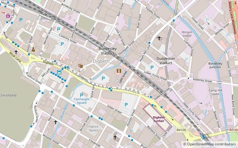
Map
Facts and practical information
The Medicine Bar was a bar in Birmingham, England. Located in the Custard Factory in Digbeth, it has hosted many techno, acid jazz, funk and hip hop events. It started as a collaboration in the 1990s between the London Medicine bar and local hip hop DJ 'Simon Fat Head', who began his career at the Brothers and Sisters at the Coast to Coast club on Broad Street. ()
Coordinates: 52°28'31"N, 1°53'3"W
Address
NechellsBirmingham
ContactAdd
Social media
Add
Getting there by public transportation
Public transportation stops near this location
- Bus
- Tram
- Train
 Bus
Bus
- Calculate routeHigh St / Adderley St 4 min walk
- Calculate routeDs6 4 min walk
- Calculate routeDs7 5 min walk
- Calculate routeBordesley 9 min walk
- Calculate routeBirmingham Moor Street 11 min walk
- Calculate routeBirmingham New Street 17 min walk
- Calculate routeBirmingham Snow Hill 24 min walk
- Calculate routeCorporation Street 17 min walk
- Calculate routeGrand Central 18 min walk
- Calculate routeBull Street 18 min walk
- Calculate routeTown Hall 22 min walk
Day trips


Frequently Asked Questions (FAQ)
Which popular attractions are close to Medicine Bar?
Nearby attractions include Custard Factory, Birmingham (1 min walk), J. F. Kennedy Memorial, Birmingham (3 min walk), Eastside Projects, Birmingham (4 min walk), Deritend, Birmingham (4 min walk).
How to get to Medicine Bar by public transport?
The nearest stations to Medicine Bar:
Bus
Train
Tram
Bus
- High St / Adderley St • Lines: X1, X2 (4 min walk)
- Ds6 • Lines: X1, X2 (4 min walk)
Train
- Bordesley (9 min walk)
- Birmingham Moor Street (11 min walk)
Tram
- Corporation Street • Lines: 1 (17 min walk)
- Grand Central • Lines: 1 (18 min walk)