Mountsorrel Cross, Leicester
Map

Map

Facts and practical information
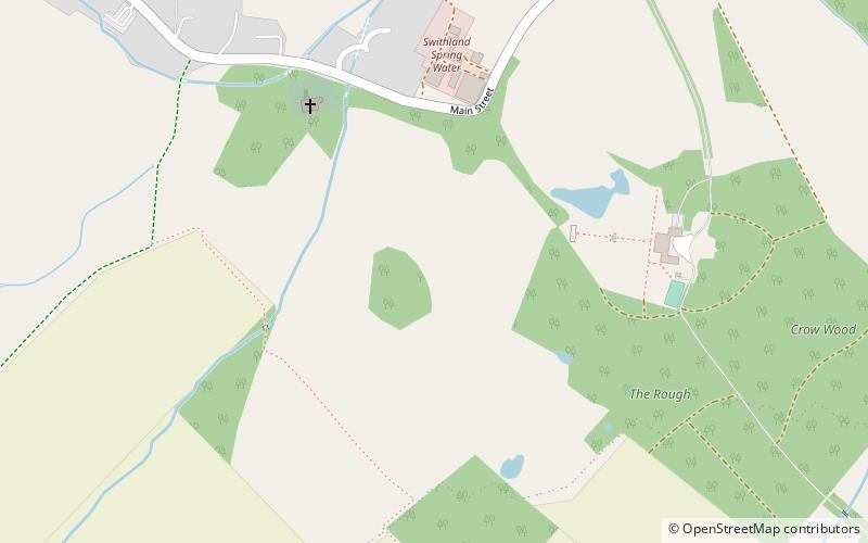
The Mountsorrel Cross is a market cross that dates from the Middle Ages. It originally stood on Main Street in the village of Mountsorrel, Leicestershire, but was moved in the late 18th century to a position 250 metres south-east of St Leonard's Church, Swithland, where it still stands. It is a Grade I listed feature. ()
Coordinates: 52°42'30"N, 1°10'39"W
Address
Leicester
ContactAdd
Social media
Add
Day trips
Mountsorrel Cross – popular in the area (distance from the attraction)
Nearby attractions include: Beaumont Shopping Centre, Stonehurst Family Farm and Motor Museum, Old John, Charnwood Forest.
Frequently Asked Questions (FAQ)
How to get to Mountsorrel Cross by public transport?
The nearest stations to Mountsorrel Cross:
Train
Train
- Rothley (21 min walk)
- Nunckley Hill (33 min walk)


