Thomas Rigby's, Liverpool
Map
Map

Facts and practical information
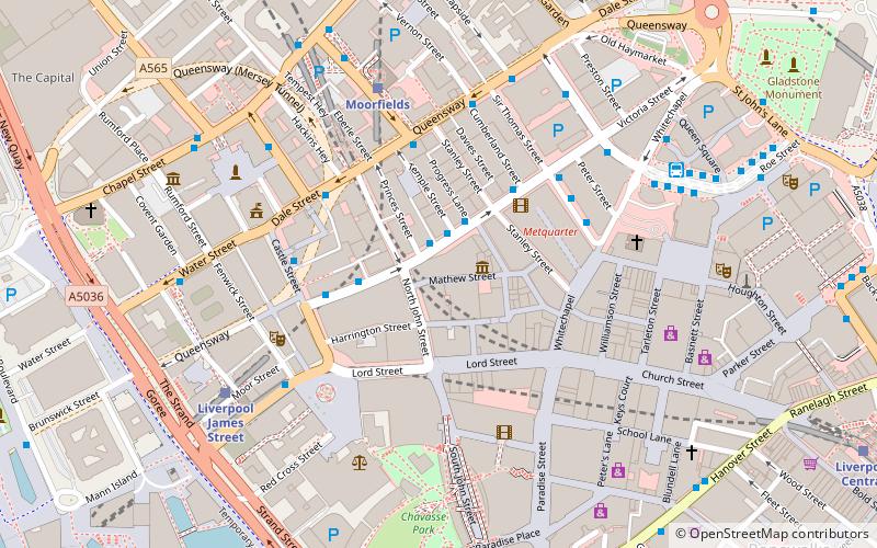
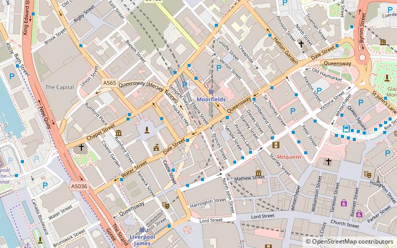
Rigby's Buildings is at 21–25 Dale Street, Liverpool, Merseyside, England. It contains offices and, on its ground floor, a public house. ()
Coordinates: 53°24'28"N, 2°59'23"W
Address
23-25 Dale StCentral LiverpoolLiverpool
Contact
+44 151 236 3269
Social media
Add
Day trips
Thomas Rigby's – popular in the area (distance from the attraction)
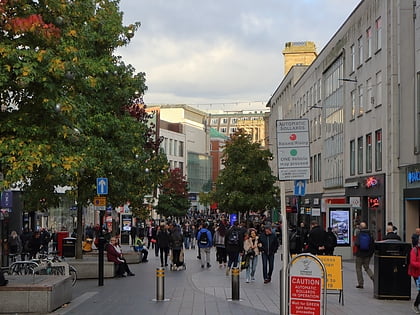
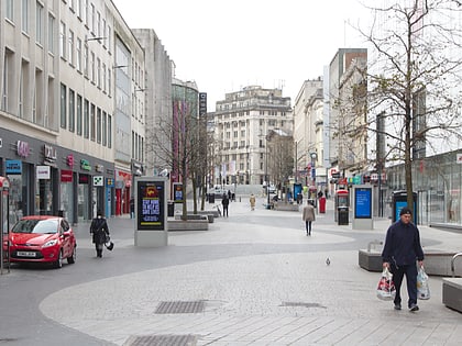
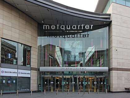
Nearby attractions include: Church Street, Mathew Street, Lord Street, Metquarter.
Frequently Asked Questions (FAQ)
Which popular attractions are close to Thomas Rigby's?
Nearby attractions include Prudential Assurance Building, Liverpool (2 min walk), Mersey Tigers, Liverpool (2 min walk), Liverpool Town Hall, Liverpool (2 min walk), Liverpool City Centre, Liverpool (3 min walk).
How to get to Thomas Rigby's by public transport?
The nearest stations to Thomas Rigby's:
Bus
Train
Tram
Bus
- Dale St/stop Dd • Lines: 18 (2 min walk)
- Crosshall St/stop Cx • Lines: 18 (5 min walk)
Train
- Moorfields (2 min walk)
- Liverpool James Street (6 min walk)
Tram
- Woodside Ferry • Lines: Wirral Tramway (31 min walk)
- Shore Road • Lines: Wirral Tramway (33 min walk)

