Plym Valley Railway, Bere Ferrers
Map

Map

Facts and practical information
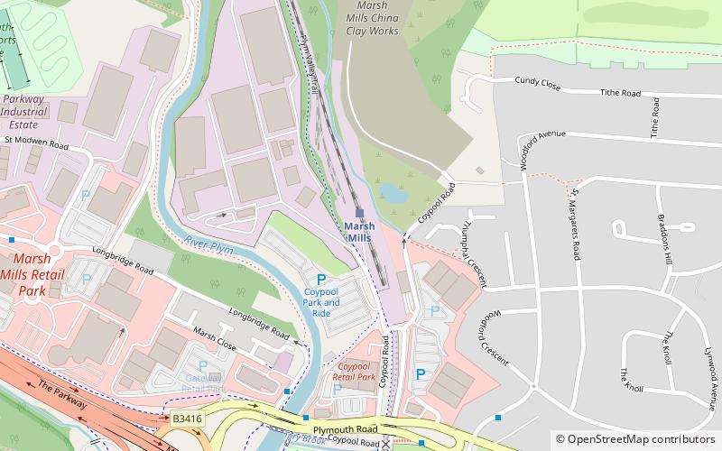
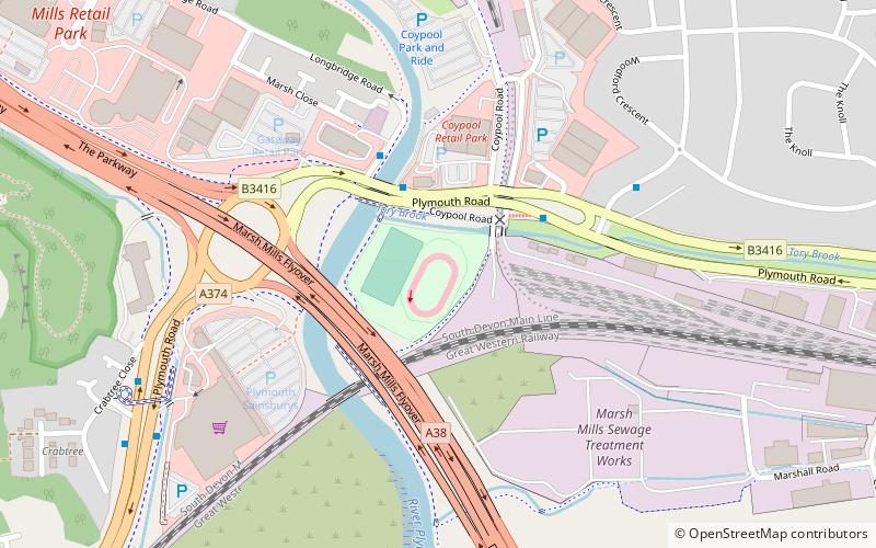
The Plym Valley Railway is a 1+1⁄2-mile heritage railway based on part of the now-closed South Devon and Tavistock Railway, a branch line of the Great Western Railway in Devon, England. ()
Coordinates: 50°23'41"N, 4°4'57"W
Address
Tavistock Junction Freight Yard Coypool RoadPlympton St. MaryBere Ferrers PL7 4NW
Contact
+44 7580 689380
Social media
Add
Day trips
Plym Valley Railway – popular in the area (distance from the attraction)
Nearby attractions include: Saltram House, Plymbridge Woods, Plympton Priory, Plymouth Coliseum.
Frequently Asked Questions (FAQ)
How to get to Plym Valley Railway by public transport?
The nearest stations to Plym Valley Railway:
Train
Bus
Train
- Marsh Mills (1 min walk)
- Plym Bridge (25 min walk)
Bus
- Laira Flyover • Lines: Falcon (27 min walk)
- Pike Road • Lines: 9 (30 min walk)


