Regent Hall, London
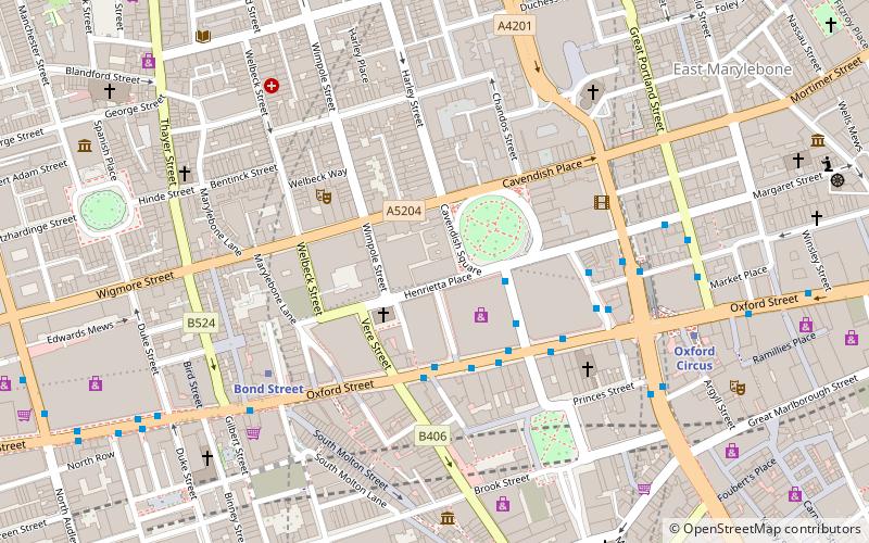
Map
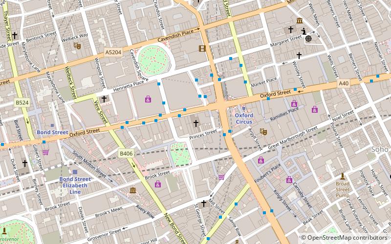
Map

Facts and practical information
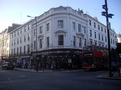
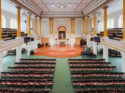
The Regent Hall is a Salvation Army centre on London's Oxford Street. It is one of the oldest centres in London having been founded by the founder of the army, William Booth in 1882. The church is known as the "Rink", because it was formerly a skating rink. ()
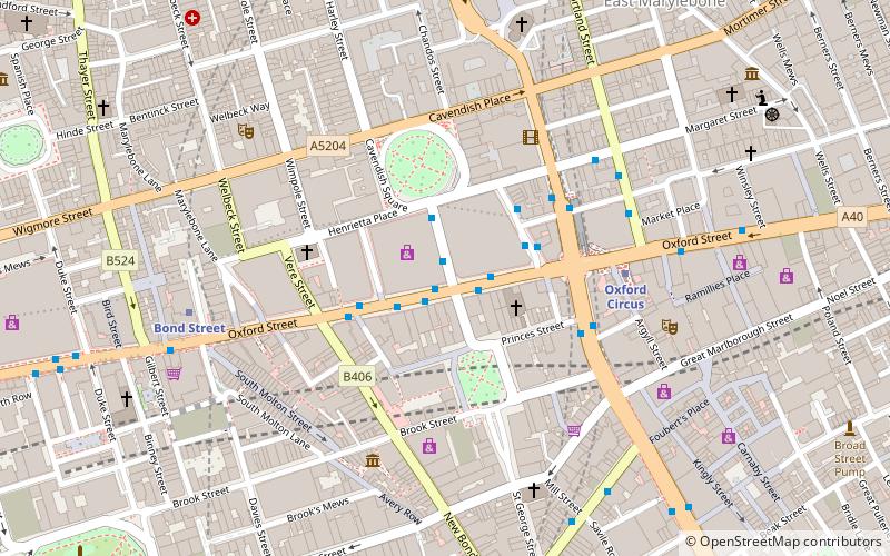
Coordinates: 51°30'53"N, 0°8'35"W
Address
275 Oxford StreetCity of Westminster (West End)London
ContactAdd
Social media
Add
Day trips
Regent Hall – popular in the area (distance from the attraction)
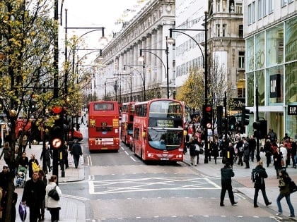
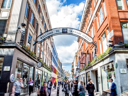
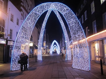
Nearby attractions include: Oxford Street, Bond Street, Carnaby Street, South Molton Street.
Frequently Asked Questions (FAQ)
Which popular attractions are close to Regent Hall?
Nearby attractions include Oxford Street, London (2 min walk), Winged Figure, London (2 min walk), Hanover Square, London (2 min walk), Old Cavendish Street, London (3 min walk).
How to get to Regent Hall by public transport?
The nearest stations to Regent Hall:
Bus
Metro
Train
Ferry
Bus
- Oxford Circus Station / Harewood Place • Lines: 7, 98, N7, N98 (1 min walk)
- Oxford Circus Station / John Lewis • Lines: 390, 7, 98, N207, N7, N98 (2 min walk)
Metro
- Oxford Circus • Lines: Bakerloo, Central, Victoria (3 min walk)
- Bond Street • Lines: Central, Jubilee (7 min walk)
Train
- Charing Cross (25 min walk)
- London Euston (27 min walk)
Ferry
- Embankment • Lines: Green Tour, Rb1, Rb1X, Rb2, Rb6 (28 min walk)
- Festival Pier • Lines: Green Tour (31 min walk)

 Tube
Tube