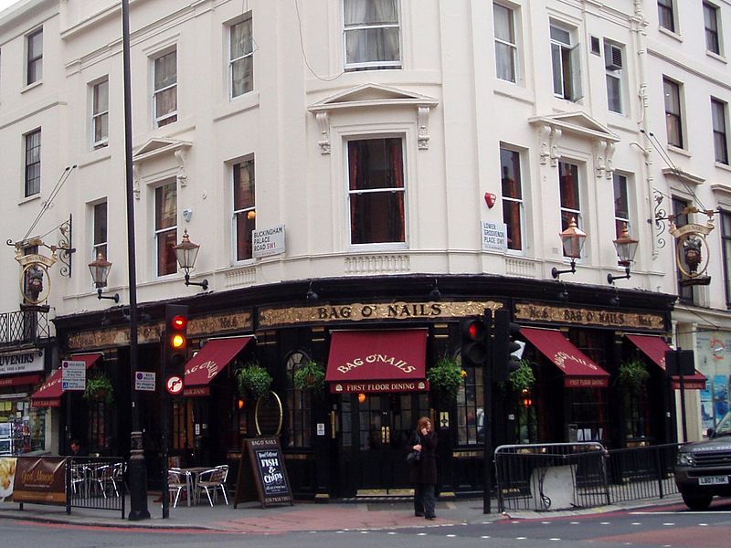
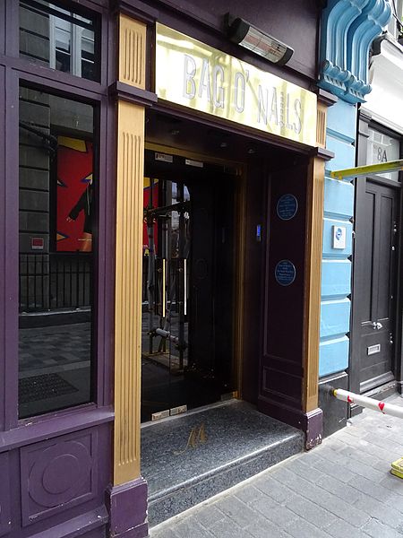
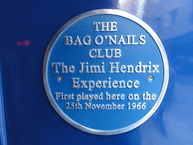
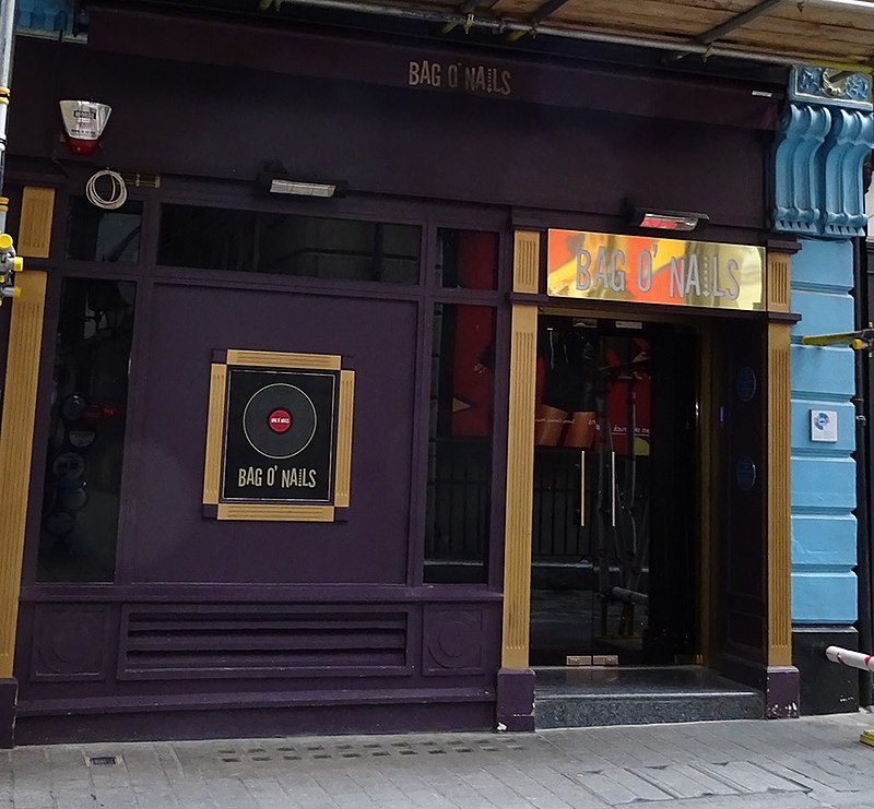
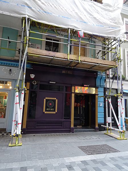
The Bag O'Nails, London

Gallery (7)
Map

Map

Gallery
Facts and practical information
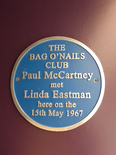
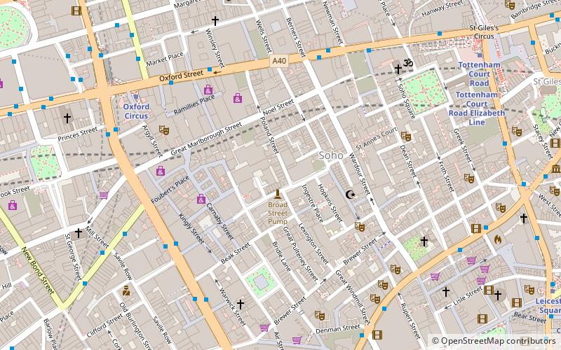
The Bag O'Nails was a live music club and meeting place for musicians in the 1960s and situated at 9 Kingly Street, Soho, London, England. ()
Coordinates: 51°30'45"N, 0°8'20"W
Address
9 Kingly StreetCity of Westminster (West End)London
Contact
+44 20 7437 6698
Social media
Add
Getting there by public transportation
Public transportation stops near this location
- Metro
- Bus
- Train
- Ferry
 Metro
Metro
- Calculate routeGreat Titchfield Street / Oxford Circus Station 6 min walk
- Calculate routePiccadilly Circus 6 min walk
- Calculate routeTrocadero / Haymarket 7 min walk
- Calculate routeOxford Circus Station / Harewood Place 7 min walk
- Calculate routeOxford Circus 6 min walk
- Calculate routePiccadilly Circus 7 min walk
- Calculate routeTottenham Court Road 11 min walk
- Calculate routeGreen Park 12 min walk
- Calculate routeCharing Cross 19 min walk
- Calculate routeLondon Euston 30 min walk
- Calculate routeLondon Waterloo 34 min walk
- Calculate routeLondon Marylebone 34 min walk
- Calculate routeEmbankment 22 min walk
- Calculate routeFestival Pier 26 min walk
- Calculate routeWestminster Pier 26 min walk
- Calculate routeLondon Eye - Waterloo Pier 26 min walk
Maps Tube
Tube
TubeDay trips


Frequently Asked Questions (FAQ)
Which popular attractions are close to The Bag O'Nails?
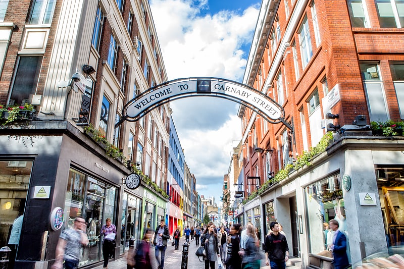
Nearby attractions include Ganton Street, London (1 min walk), Carnaby Street, London (1 min walk), Beak Street, London (2 min walk), New Burlington Street, London (2 min walk).
How to get to The Bag O'Nails by public transport?
The nearest stations to The Bag O'Nails:
Bus
Metro
Train
Ferry
Bus
- Great Titchfield Street / Oxford Circus Station • Lines: 55, N55 (6 min walk)
- Piccadilly Circus • Lines: 38, N38 (6 min walk)
Metro
- Oxford Circus • Lines: Bakerloo, Central, Victoria (6 min walk)
- Piccadilly Circus • Lines: Bakerloo, Piccadilly (7 min walk)
Train
- Charing Cross (19 min walk)
- London Euston (30 min walk)
Ferry
- Embankment • Lines: Green Tour, Rb1, Rb1X, Rb2, Rb6 (22 min walk)
- Festival Pier • Lines: Green Tour (26 min walk)