Skyrack, Leeds
Map
Facts and practical information
Skyrack was a wapentake of the West Riding of Yorkshire, England. It was split into upper and lower divisions and centred in Headingley, Leeds. The Lower Division included the parishes of Aberford, Bardsey, Barwick-in-Elmet, Kippax, Thorner, Whitkirk and part of Harewood, while the Upper Division included the parishes of Adel, Bingley, Guiseley and parts of Harewood, Ilkley and Otley. ()
Coordinates: 53°49'11"N, 1°34'36"W
Address
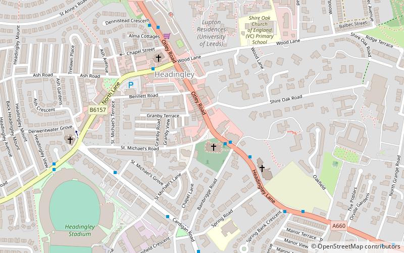
2 St Michaels RoadHeadingleyLeeds
Contact
+44 113 278 5836
Social media
Add
Getting there by public transportation
Public transportation stops near this location
- Bus
- Train
 Bus
Bus
- Calculate routeHeadingley Lane Bainbrigge Road 2 min walk
- Calculate routeCardigan Road St Michaels Lane 5 min walk
- Calculate routeBurley Park 14 min walk
- Calculate routeHeadingley 19 min walk
Day trips


Frequently Asked Questions (FAQ)
Which popular attractions are close to Skyrack?
Nearby attractions include St Michael and All Angels Church, Leeds (2 min walk), Headingley Castle, Leeds (4 min walk), Emerald Headingley Stadium, Leeds (9 min walk), Our Lady of Lourdes Church, Leeds (12 min walk).
How to get to Skyrack by public transport?
The nearest stations to Skyrack:
Bus
Train
Bus
- Headingley Lane Bainbrigge Road • Lines: 27, 6, 8, X84 (2 min walk)
- Cardigan Road St Michaels Lane • Lines: 56 (5 min walk)
Train
- Burley Park (14 min walk)
- Headingley (19 min walk)