Otley, Leeds
Map
Gallery
Facts and practical information
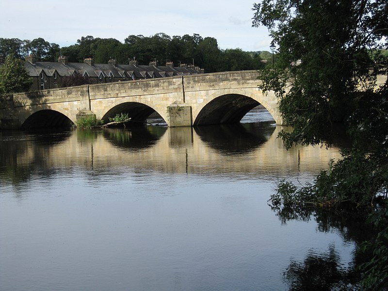
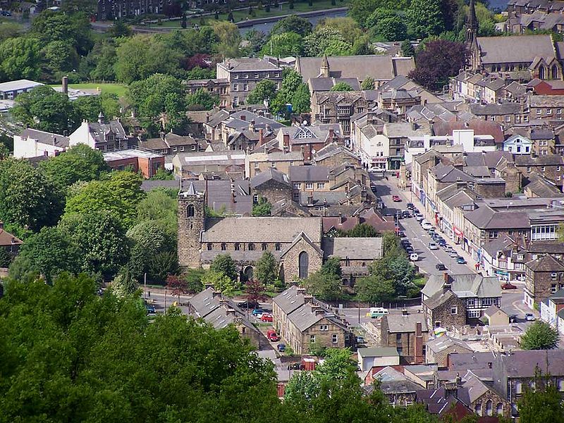
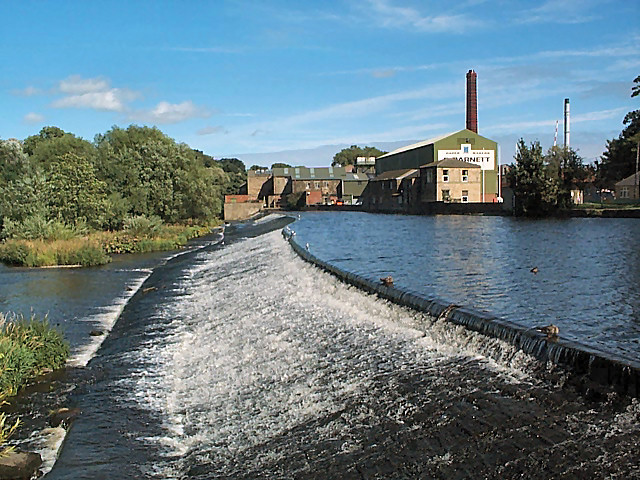
Otley is a market town and civil parish at a bridging point on the River Wharfe, in the City of Leeds metropolitan borough in West Yorkshire, England. Historically a part of the West Riding of Yorkshire, the population was 13,668 at the 2011 census. It is in two parts: south of the river is the historic town of Otley and to the north is Newall, which was formerly a separate township. The town is in lower Wharfedale on the A660 road which connects it to Leeds. ()
Address
Otley and WharfedaleLeeds
ContactAdd
Social media
Add
Day trips
Otley – popular in the area (distance from the attraction)
Nearby attractions include: Six Dales Trail, The Chevin, All Saints' Church, Otley Museum.
Frequently Asked Questions (FAQ)
Which popular attractions are close to Otley?
Nearby attractions include All Saints' Church, Leeds (3 min walk), Otley Museum, Leeds (5 min walk), Newall, Leeds (15 min walk), The Chevin, Leeds (21 min walk).
How to get to Otley by public transport?
The nearest stations to Otley:
Bus
Bus
- Stand 01 Otley Bus Station • Lines: X84 (2 min walk)
- Stand 02 Otley Bus Station • Lines: 33, 34, X84 (2 min walk)


