The Hobbit, Southampton
Map

Map

Facts and practical information
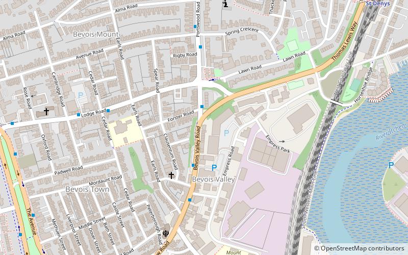
The Hobbit is a pub in the Bevois Valley area of Southampton, England. Previously the Portswood Hotel, it was named after J. R. R. Tolkien's book The Hobbit in 1989. In 2012 the pub was involved in a legal dispute with Middle-earth Enterprises, a company owned by film producer Saul Zaentz, over its use of the name. ()
Coordinates: 50°55'8"N, 1°23'43"W
Address
Southampton Test (Bevois)Southampton
Contact
+44 23 8023 2591
Social media
Add
Day trips
The Hobbit – popular in the area (distance from the attraction)
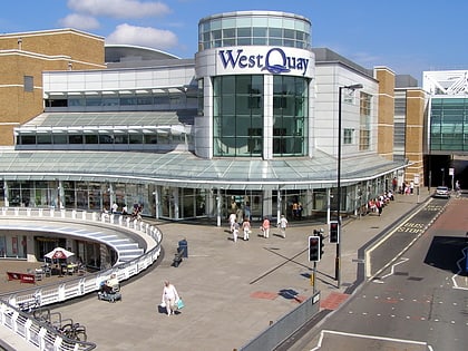
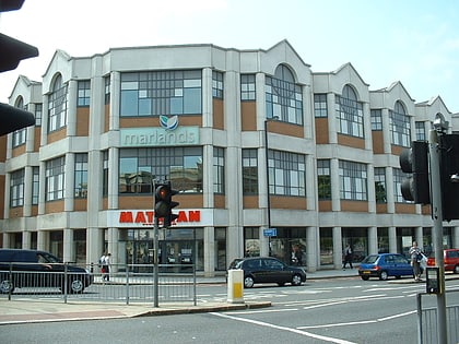
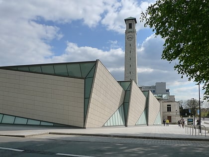
Nearby attractions include: Westquay, The Marlands, St Mary's Stadium, SeaCity Museum.
Frequently Asked Questions (FAQ)
Which popular attractions are close to The Hobbit?
Nearby attractions include Bevois Valley, Southampton (3 min walk), St. Edmund Church, Southampton (12 min walk), Avenue St. Andrew's United Reformed Church, Southampton (12 min walk), Rockstone Place Park, Southampton (13 min walk).
How to get to The Hobbit by public transport?
The nearest stations to The Hobbit:
Bus
Train
Bus
- Stag Gates • Lines: U1A, U2, U2B, U2C (10 min walk)
- Archers Road • Lines: U1A, U2, U2B, U2C (10 min walk)
Train
- St Denys (11 min walk)
- Bitterne (21 min walk)


