The Rodboro Buildings, Guildford
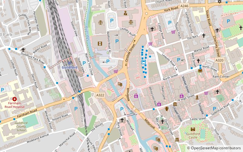
Map

Gallery

Facts and practical information
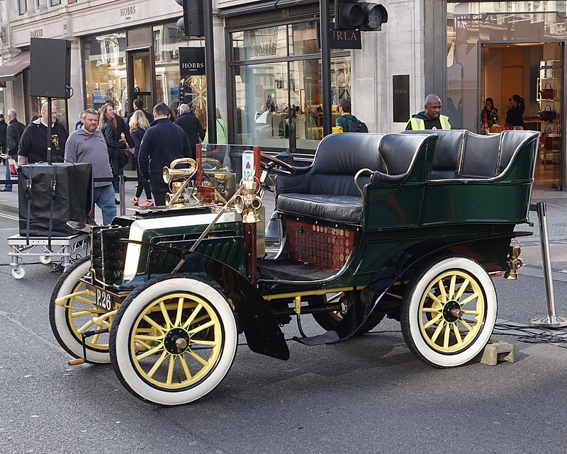
The Rodboro Buildings in Guildford was one of, if not the first, purpose-built car factories in England and the world. It is a Grade II listed building. ()
Coordinates: 51°14'12"N, 0°34'39"W
Address
Holy TrinityGuildford
Contact
+44 1483 306366
Social media
Add
Day trips
The Rodboro Buildings – popular in the area (distance from the attraction)
Nearby attractions include: Guildford Lido, The Undercroft, Guildford Castle, Guildford Cathedral.
Frequently Asked Questions (FAQ)
Which popular attractions are close to The Rodboro Buildings?
Nearby attractions include Academy of Contemporary Music, Guildford (1 min walk), Electric Theatre, Guildford (1 min walk), St Nicolas Church, Guildford (4 min walk), St Mary's Church, Guildford (4 min walk).
How to get to The Rodboro Buildings by public transport?
The nearest stations to The Rodboro Buildings:
Bus
Train
Bus
- Friary Bus Station • Lines: 1, 100, 17, 18, 2, 200, 23, 24, 28, 3, 300, 33, 34, 35, 4, 42, 462, 463, 479, 5, 520, 53, 6, 63, 63X, 715, 8, 91, Kite, N1 (3 min walk)
- Friary Centre Bus Station Bay 19 (2 min walk)
Train
- Guildford (5 min walk)
- London Road (16 min walk)


