The Albany, London
Map
Map

Facts and practical information
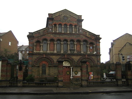
The Albany is a multi-purpose arts centre in Deptford, south-east London. ()
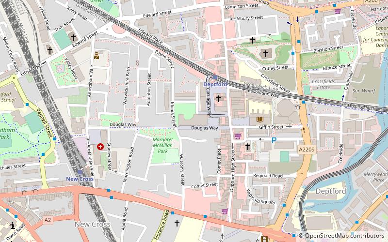
Coordinates: 51°28'40"N, 0°1'39"W
Day trips
The Albany – popular in the area (distance from the attraction)
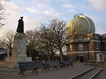
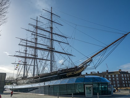
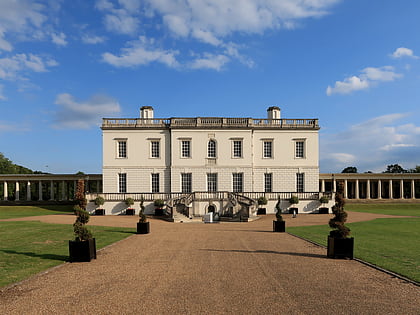
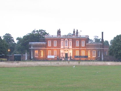
Nearby attractions include: National Maritime Museum, Royal Observatory, Greenwich Park, Old Royal Naval College.
Frequently Asked Questions (FAQ)
Which popular attractions are close to The Albany?
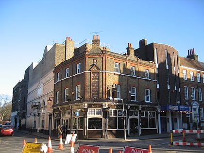
Nearby attractions include Deptford Market, London (1 min walk), Art in Perpetuity Trust, London (8 min walk), Fordham Park, London (10 min walk), Convoys Wharf, London (15 min walk).
How to get to The Albany by public transport?
The nearest stations to The Albany:
Train
Bus
Light rail
Ferry
Train
- Deptford (3 min walk)
- New Cross (7 min walk)
Bus
- Wavelengths • Lines: 47 (6 min walk)
- Creek Road • Lines: 47 (6 min walk)
Light rail
- Deptford Bridge Platform 2 • Lines: B-L, S-L (8 min walk)
- Greenwich Platform 3 • Lines: B-L, S-L (14 min walk)
Ferry
- Masthouse Terrace Pier • Lines: Rb1 (18 min walk)
- Greenwich Pier • Lines: Blue Tour, Rb1, Rb1X, Red Tour (23 min walk)

 Tube
Tube
