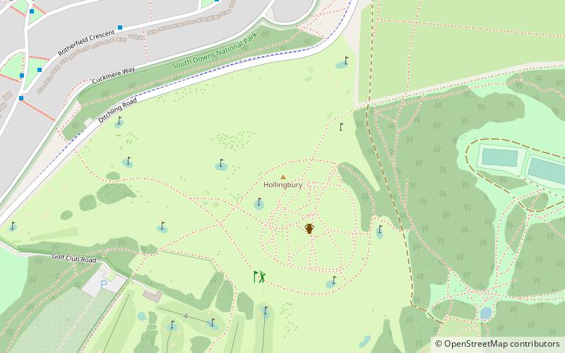
Hollingbury Castle, Brighton
Map

Map

Facts and practical information
Hollingbury Castle, also known as Hollingbury Camp and Hollingbury Hillfort, is an Iron Age hillfort on the northern edge of Brighton, in East Sussex, England. It is adjacent to Hollingbury Park Golf Course. ()
Coordinates: 50°51'23"N, 0°7'26"W
Address
Hollingdean and Stanmer (Hollingbury Golf Course)Brighton
ContactAdd
Social media
Add
Day trips
Hollingbury Castle – popular in the area (distance from the attraction)
Nearby attractions include: Preston Manor, Stanmer Church, St Mary's Church, St Peter's Church.
Frequently Asked Questions (FAQ)
Which popular attractions are close to Hollingbury Castle?
Nearby attractions include Wild Park, Sussex Downs AONB (10 min walk), Hollingbury, Brighton (12 min walk), Moulsecoomb Place, Brighton (20 min walk), Hollingdean, Brighton (22 min walk).
How to get to Hollingbury Castle by public transport?
The nearest stations to Hollingbury Castle:
Bus
Train
Bus
- Buxted Rise • Lines: 46 (7 min walk)
- Rotherfield Crescent Middle • Lines: 46 (8 min walk)
Train
- Moulsecoomb (18 min walk)


