Crooked Billet, London
Map

Map

Facts and practical information
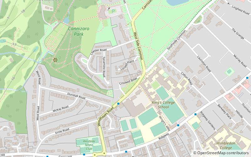
The Crooked Billet is a pub at 14–15 Crooked Billet, facing onto Wimbledon Common, Wimbledon, London. The building dates from the early 18th century and became the Crooked Billet during the 1750s. The district of Wimbledon called Crooked Billet may have taken its name from the pub. ()
Coordinates: 51°25'17"N, 0°13'40"W
Address
14-15 Crooked Billet, SW19 4RQMerton (Village)London
Contact
+44 20 8946 4942
Social media
Add
Day trips
Crooked Billet – popular in the area (distance from the attraction)
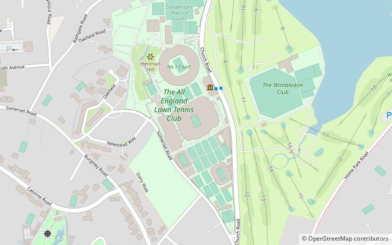
Nearby attractions include: Wimbledon Lawn Tennis Museum, Cannizaro Park, New Wimbledon Theatre, Museum of Wimbledon.
Frequently Asked Questions (FAQ)
Which popular attractions are close to Crooked Billet?
Nearby attractions include Southside House, London (2 min walk), Cannizaro Park, London (6 min walk), Sacred Heart Church, London (12 min walk), Museum of Wimbledon, London (13 min walk).
How to get to Crooked Billet by public transport?
The nearest stations to Crooked Billet:
Bus
Train
Tram
Metro
Bus
- Arterberry Road • Lines: 200 (6 min walk)
- Edge Hill • Lines: 200 (6 min walk)
Train
- Raynes Park (23 min walk)
- Wimbledon Chase (25 min walk)
Tram
- Dundonald Road • Lines: 2, 4 (24 min walk)
- Wimbledon • Lines: 2, 4 (25 min walk)
Metro
- Wimbledon • Lines: District (25 min walk)

 Tube
Tube


