All England Lawn Tennis and Croquet Club, London
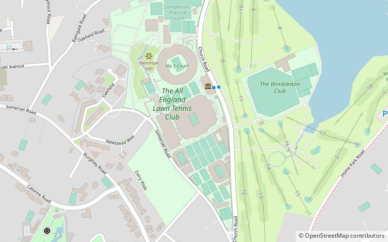
Map
Facts and practical information
The All England Lawn Tennis and Croquet Club, also known as the All England Club, based at Church Road, Wimbledon, London, England, is a private members' club. It is best known as the venue for the Wimbledon Championships, the only Grand Slam tennis event still held on grass. Initially an amateur event that occupied club members and their friends for a few days each summer, the championships have become far more prominent than the club itself. However, it still operates as a members' tennis club. ()
Getting there by public transportation
Public transportation stops near this location
- Metro
- Bus
- Tram
- Train
 Metro
Metro
- Calculate routeWimbledon Tennis Club & Museum 2 min walk
- Calculate routeSomerset Road 8 min walk
- Calculate routeChurch Road 8 min walk
- Calculate routeWimbledon Park 17 min walk
- Calculate routeSouthfields 23 min walk
- Calculate routeWimbledon 24 min walk
- Calculate routeDundonald Road 30 min walk
- Calculate routeHaydons Road 32 min walk
- Calculate routeEarlsfield 33 min walk
Maps Tube
Tube
TubeDay trips


Frequently Asked Questions (FAQ)
Which popular attractions are close to All England Lawn Tennis and Croquet Club?
Nearby attractions include Wimbledon Lawn Tennis Museum, London (2 min walk), Buddhapadipa Temple, London (9 min walk), Museum of Wimbledon, London (19 min walk), Wimbledon Windmill, London (21 min walk).
How to get to All England Lawn Tennis and Croquet Club by public transport?
The nearest stations to All England Lawn Tennis and Croquet Club:
Bus
Metro
Tram
Train
Bus
- Wimbledon Tennis Club & Museum • Lines: 493 (2 min walk)
- Somerset Road • Lines: 493 (8 min walk)
Metro
- Wimbledon Park • Lines: District (17 min walk)
- Southfields • Lines: District (23 min walk)
Tram
- Wimbledon • Lines: 2, 4 (24 min walk)
- Dundonald Road • Lines: 2, 4 (30 min walk)
Train
- Haydons Road (32 min walk)
- Earlsfield (33 min walk)