Wandsworth Common, London
Map

Map

Facts and practical information
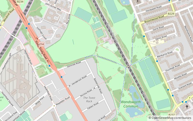
Wandsworth Common is a public common in Wandsworth, in the London Borough of Wandsworth, south London. It is 69.43 hectares and is maintained and regulated by Wandsworth Council. It is also a Ward of the London Borough of Wandsworth. The population of the ward at the 2011 Census was 15,247. ()
Elevation: 92 ft a.s.l.Coordinates: 51°27'3"N, 0°10'14"W
Address
Wandsworth (Wandsworth Common)London
ContactAdd
Social media
Add
Day trips
Wandsworth Common – popular in the area (distance from the attraction)
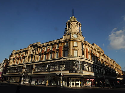
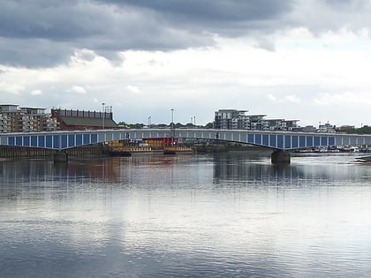
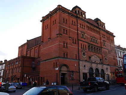
Nearby attractions include: Lavender Hill, Southside Wandsworth, Clapham Common, Battersea Arts Centre.
Frequently Asked Questions (FAQ)
Which popular attractions are close to Wandsworth Common?
Nearby attractions include Northcote Road Antiques Market, London (11 min walk), Clapham Grand, London (22 min walk), Battersea, London (23 min walk).
How to get to Wandsworth Common by public transport?
The nearest stations to Wandsworth Common:
Bus
Train
Metro
Ferry
Bus
- County Arms • Lines: 219 (5 min walk)
- Gorst Road • Lines: 319 (6 min walk)
Train
- Wandsworth Common (12 min walk)
- Earlsfield (24 min walk)
Metro
- Balham • Lines: Northern (24 min walk)
- Clapham South • Lines: Northern (26 min walk)
Ferry
- Plantation Wharf Pier • Lines: Rb6 (32 min walk)

 Tube
Tube


