Teddington Lock, London
Map
Gallery
Facts and practical information
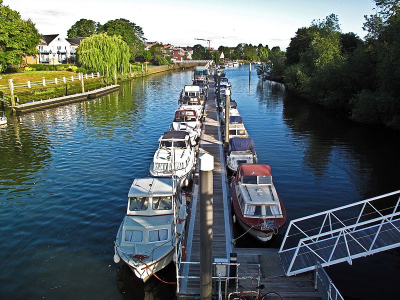
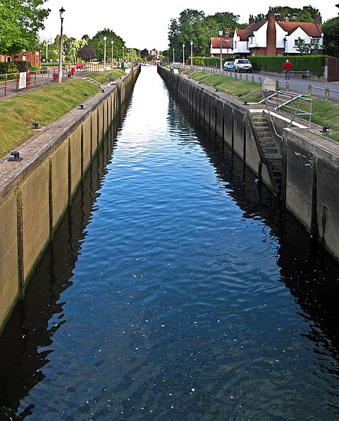
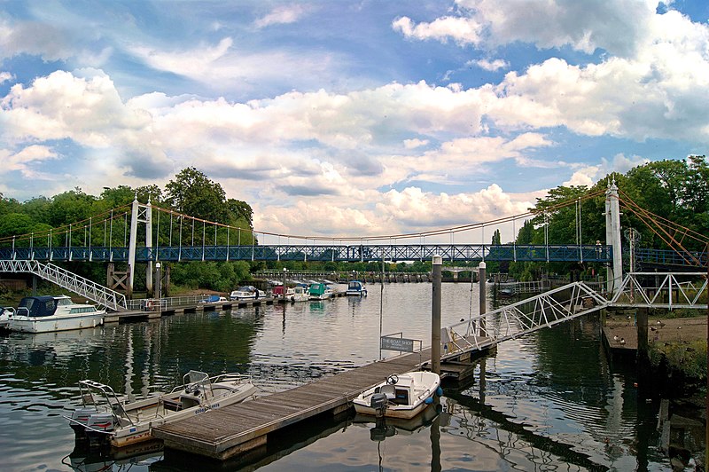
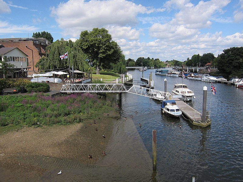
Teddington Lock is a complex of three locks and a weir on the River Thames between Ham and Teddington in the London Borough of Richmond upon Thames, England. Historically in Middlesex, it was first built in 1810. ()
Coordinates: 51°25'53"N, 0°19'25"W
Address
Richmond upon Thames (Ham, Petersham and Richmond Riverside)London
ContactAdd
Social media
Add
Day trips
Teddington Lock – popular in the area (distance from the attraction)
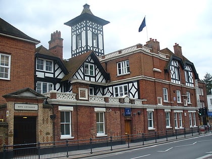
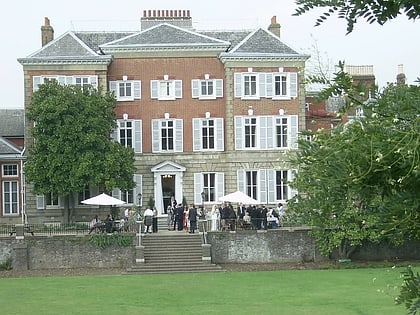
Nearby attractions include: St Mary with St Alban, Ham House, The Naked Ladies, Ham Lands.
Frequently Asked Questions (FAQ)
Which popular attractions are close to Teddington Lock?
Nearby attractions include Teddington Lock Footbridges, London (3 min walk), St Mary with St Alban, London (6 min walk), Ham Lands, London (6 min walk), Ham Christian Centre, London (13 min walk).
How to get to Teddington Lock by public transport?
The nearest stations to Teddington Lock:
Bus
Train
Bus
- Manor Road • Lines: R68 (4 min walk)
- Teddington Lock • Lines: 281, 285, 681, R68 (6 min walk)
Train
- Teddington (16 min walk)
- Strawberry Hill (23 min walk)





 Tube
Tube


