Shields Ferry, South Tyneside

Gallery (4)
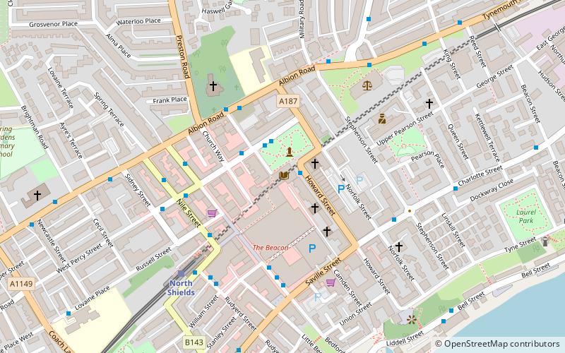
Map

Map
Gallery
Facts and practical information
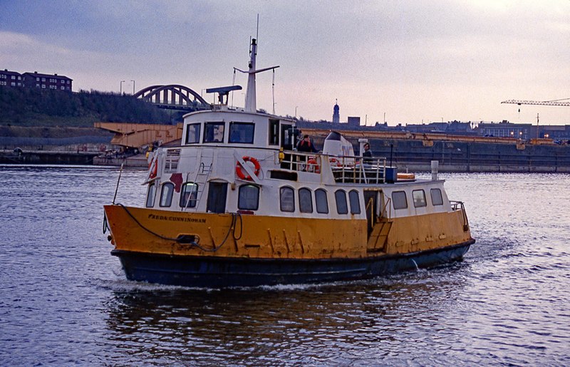
The Shields Ferry operates across the River Tyne, between North Shields and South Shields in Tyne and Wear, England. The service is operated by the Tyne and Wear PTE. Prior to takeover by the PTE in 1972, it was known as the Market Place Ferry. ()
Coordinates: 55°0'14"N, 1°26'39"W
Address
South Tyneside
ContactAdd
Social media
Add
Getting there by public transportation
Public transportation stops near this location
- Bus
- Light rail
- Ferry
 Bus
Bus
- Calculate routeNorth Shields Ferry 2 min walk
- Calculate routeBorough Road-Saville Street West-S/B 6 min walk
- Calculate routePrudhoe Street 6 min walk
- Calculate routeNorth Shields 9 min walk
- Calculate routeSouth Shields 16 min walk
- Calculate routeMeadow Well 23 min walk
- Calculate routeTynemouth 29 min walk
- Calculate routeNewcastle 23 min walk
Day trips


Frequently Asked Questions (FAQ)
Which popular attractions are close to Shields Ferry?
Nearby attractions include North East Maritime Trust, South Tyneside (6 min walk), Arbeia, South Tyneside (10 min walk), North Shields, South Tyneside (11 min walk), Tynemouth Town Hall, South Tyneside (11 min walk).
How to get to Shields Ferry by public transport?
The nearest stations to Shields Ferry:
Bus
Light rail
Ferry
Bus
- North Shields Ferry • Lines: 333 (2 min walk)
- Borough Road-Saville Street West-S/B • Lines: 333 (6 min walk)
Light rail
- North Shields • Lines: Yellow (9 min walk)
- South Shields • Lines: Yellow (16 min walk)
Ferry
- Newcastle • Lines: Newcastle - IJmuiden (23 min walk)