Royal Quays, South Tyneside

Gallery (1)
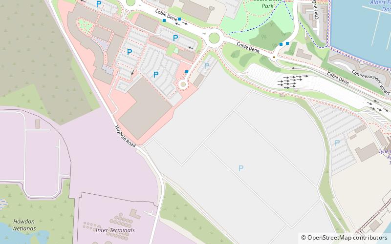
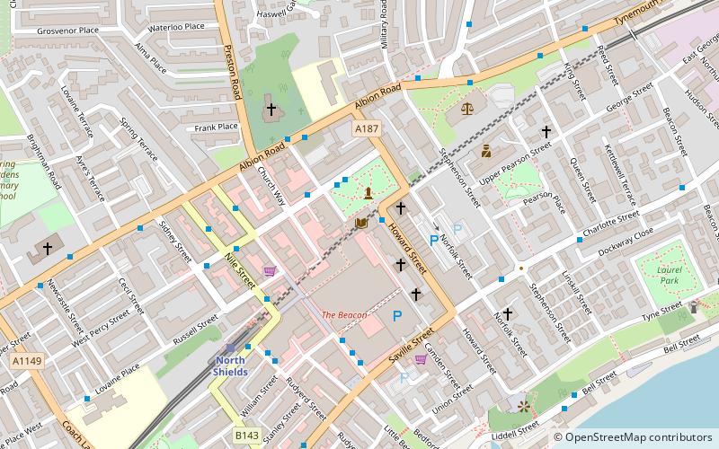
Map
Map
Facts and practical information
Royal Quays is an area of North Shields, North Tyneside, England, beside the River Tyne. ()
Coordinates: 54°59'35"N, 1°27'40"W
Getting there by public transportation
Public transportation stops near this location
- Bus
- Light rail
- Train
- Ferry
 Bus
Bus
- Calculate routeCoble Dene-E/B 5 min walk
- Calculate routeRoyal Quays Bus Link 6 min walk
- Calculate routeNewcastle 11 min walk
- Calculate routeMeadow Well 16 min walk
- Calculate routePercy Main 19 min walk
- Calculate routeNorth Shields 30 min walk
- Calculate routeSouth Shields 30 min walk
- Calculate routePercy Main 20 min walk
Day trips


Frequently Asked Questions (FAQ)
Which popular attractions are close to Royal Quays?
Nearby attractions include Port of Tyne, Jarrow (14 min walk), Customs House, South Tyneside (21 min walk), Jarrow Hall, South Tyneside (24 min walk), Jarrow Hall, Jarrow (24 min walk).
How to get to Royal Quays by public transport?
The nearest stations to Royal Quays:
Bus
Ferry
Light rail
Train
Bus
- Coble Dene-E/B • Lines: 11 (5 min walk)
- Royal Quays Bus Link • Lines: 11 (6 min walk)
Ferry
- Newcastle • Lines: Newcastle - IJmuiden (11 min walk)
Light rail
- Meadow Well • Lines: Yellow (16 min walk)
- Percy Main • Lines: Yellow (19 min walk)
Train
- Percy Main (20 min walk)