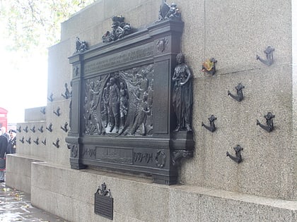
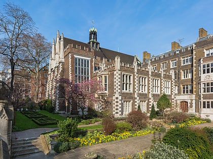
The Edgar Wallace, London
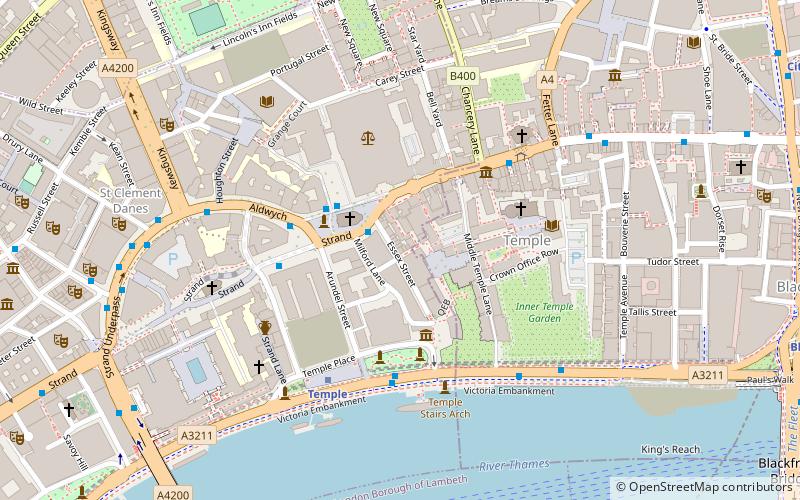
Map
Map

Facts and practical information
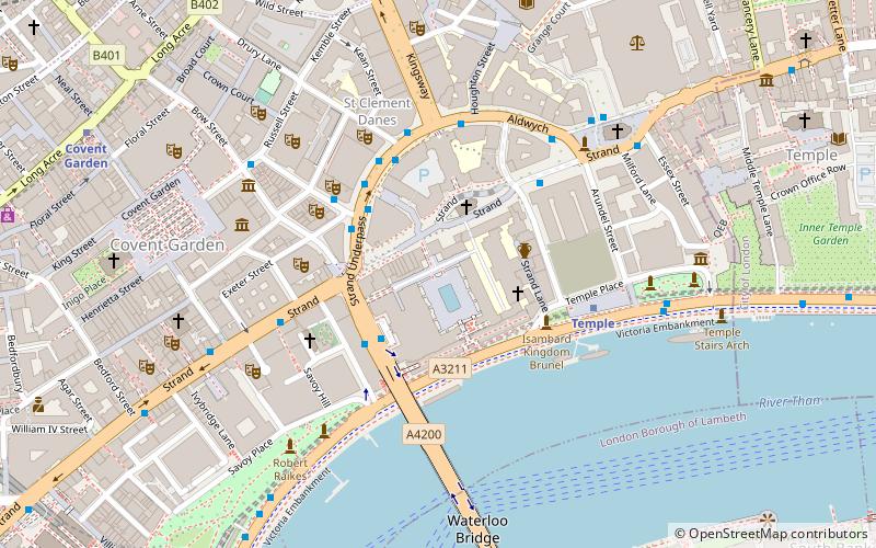
The Edgar Wallace is a public house at 40–41 Essex Street, London WC2, at the corner with Devereux Court. ()
Coordinates: 51°30'46"N, 0°6'46"W
Address
40 Essex StreetCity of Westminster (St. James's)London
Contact
+44 20 7353 3120
Social media
Add
Day trips
The Edgar Wallace – popular in the area (distance from the attraction)
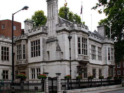
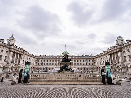
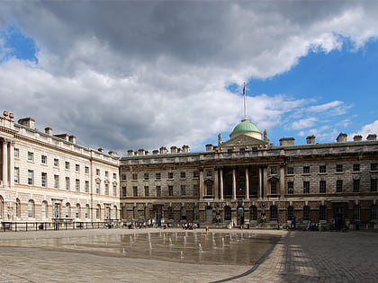
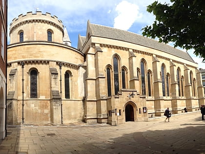
Nearby attractions include: Two Temple Place, Somerset House, Courtauld Institute of Art, Temple Church.
Frequently Asked Questions (FAQ)
Which popular attractions are close to The Edgar Wallace?
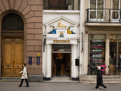
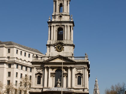
Nearby attractions include Twinings, London (1 min walk), St Clement Danes, London (2 min walk), Middle Temple, London (2 min walk), Two Temple Place, London (2 min walk).
How to get to The Edgar Wallace by public transport?
The nearest stations to The Edgar Wallace:
Bus
Metro
Train
Ferry
Light rail
Bus
- The Royal Courts of Justice • Lines: 26, N26 (2 min walk)
- Aldwych / Australia House • Lines: 11, 15, 26, 341, 76, N11, N15, N199, N21, N26, N550, N551, N89 (3 min walk)
Metro
- Temple • Lines: Circle, District (4 min walk)
- Chancery Lane • Lines: Central (10 min walk)
Train
- London Blackfriars (12 min walk)
- City Thameslink (12 min walk)
Ferry
- Festival Pier • Lines: Green Tour (12 min walk)
- Blackfriars Pier • Lines: Rb6 (14 min walk)
Light rail
- Bank Platform 10 • Lines: B-L, B-Wa (27 min walk)

 Tube
Tube