Waterloo Dock, Liverpool
Map
Map

Facts and practical information
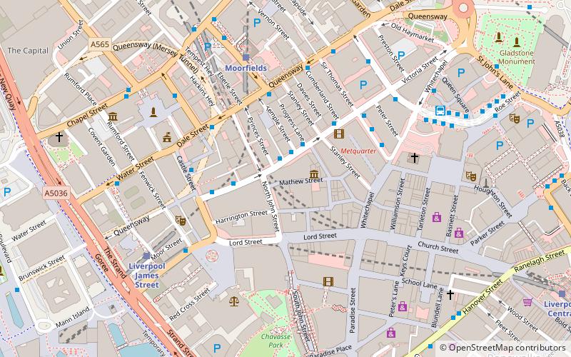
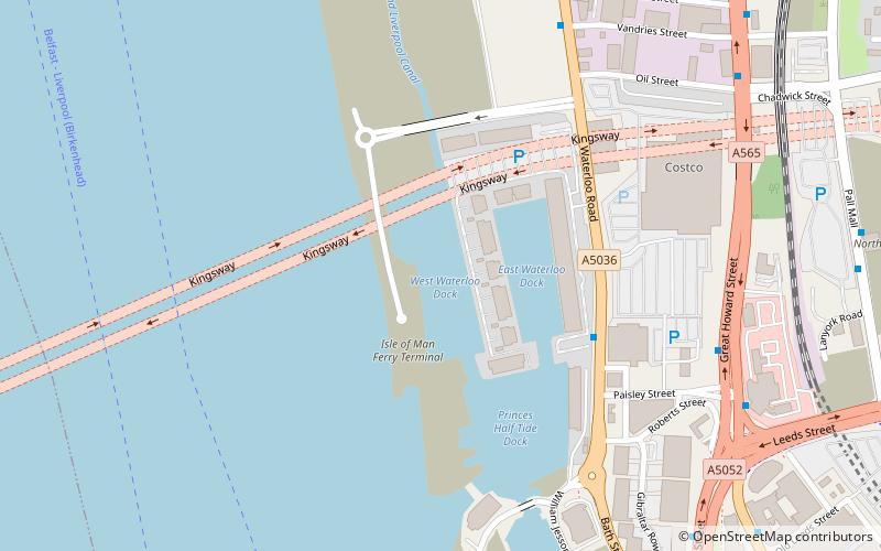
Waterloo Dock is a dock on the River Mersey, England, and part of the Port of Liverpool. It is situated in the northern dock system in Vauxhall and connected to Princes Half Tide Dock to the south. The site of Victoria Dock is located to the north. ()
Coordinates: 53°24'50"N, 3°0'8"W
Address
KirkdaleLiverpool
ContactAdd
Social media
Add
Day trips
Waterloo Dock – popular in the area (distance from the attraction)
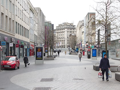
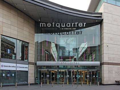
Nearby attractions include: Mathew Street, Lord Street, Walker Art Gallery, Metquarter.
Frequently Asked Questions (FAQ)
Which popular attractions are close to Waterloo Dock?
Nearby attractions include Kingsway Tunnel, Liverpool (9 min walk), West Tower, Liverpool (10 min walk), Post & Echo Building, Liverpool (11 min walk), New Hall Place, Liverpool (12 min walk).
How to get to Waterloo Dock by public transport?
The nearest stations to Waterloo Dock:
Train
Bus
Train
- Moorfields (17 min walk)
- Liverpool James Street (19 min walk)
Bus
- Dale St/stop Dd • Lines: 18 (18 min walk)
- James St Je • Lines: 18 (20 min walk)


