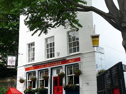
The Grenadier, London
Map
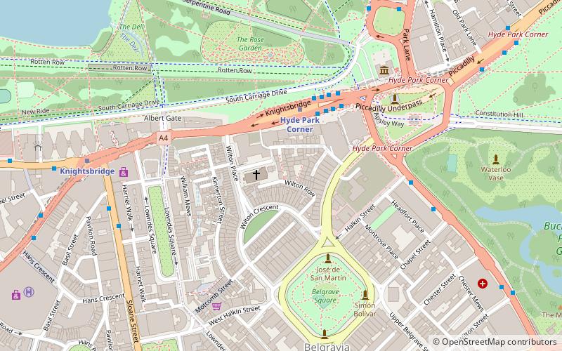
Map

Facts and practical information
The Grenadier is a public house in Belgravia, London. It was originally built in 1720 as the officers' mess for the senior infantry regiment of the British army, the 1st Regiment of Foot Guards, and located in a courtyard of their barracks. It was opened to the public in 1818 as The Guardsman, and subsequently renamed in honour of the Grenadier Guards' actions in the Battle of Waterloo. ()
Coordinates: 51°30'5"N, 0°9'18"W
Address
18 Wilton Row, SW1X 7NRCity of Westminster (Knightsbridge and Belgravia)London
Contact
+44 20 7235 3074
Social media
Add
Day trips
The Grenadier – popular in the area (distance from the attraction)
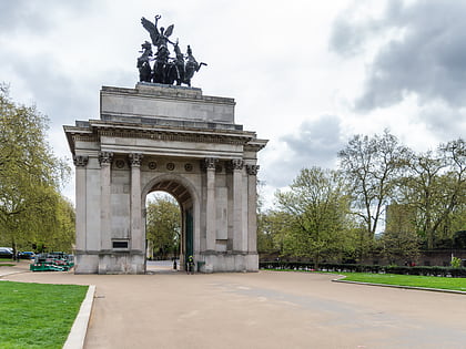
Nearby attractions include: Sloane Street, Apsley House, Wellington Arch, Royal Artillery Memorial.
Frequently Asked Questions (FAQ)
Which popular attractions are close to The Grenadier?
Nearby attractions include Cavalry of the Empire Memorial, London (4 min walk), Hyde Park Corner, London (4 min walk), Royal Artillery Memorial, London (4 min walk), Australian War Memorial, London (4 min walk).
How to get to The Grenadier by public transport?
The nearest stations to The Grenadier:
Metro
Bus
Train
Metro
- Hyde Park Corner • Lines: Piccadilly (3 min walk)
- Knightsbridge • Lines: Piccadilly (7 min walk)
Bus
- Hyde Park Corner • Lines: 38, N38 (4 min walk)
- Wilton Street • Lines: 38, N38 (9 min walk)
Train
- London Victoria (17 min walk)
- London Paddington (37 min walk)
 Tube
Tube

