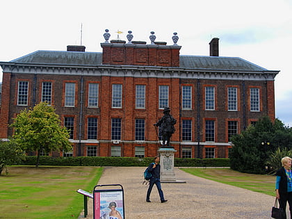
Kensington Gore, London
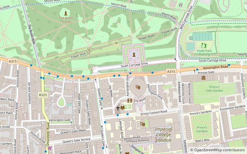
Map
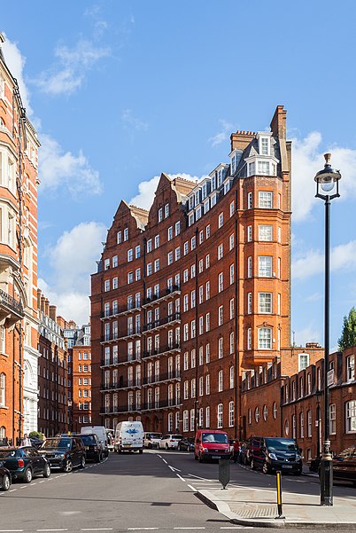
Gallery
Facts and practical information
Kensington Gore is the name of a U-shaped thoroughfare on the south side of Hyde Park in central London, England. The streets connect the Royal Albert Hall with the Royal College of Art, the Royal Geographical Society, and in Kensington Gardens the Albert Memorial. The area is named after the Gore estate which occupied the site until it was developed by Victorian planners in the mid 19th century. A gore is a narrow, triangular piece of land, in this case ()
Coordinates: 51°30'5"N, 0°10'42"W
Address
City of Westminster (Knightsbridge and Belgravia)London
ContactAdd
Social media
Add
Day trips
Kensington Gore – popular in the area (distance from the attraction)
Nearby attractions include: Victoria and Albert Museum, Natural History Museum, Science Museum, Serpentine Galleries.
Frequently Asked Questions (FAQ)
Which popular attractions are close to Kensington Gore?
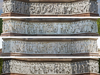
Nearby attractions include Royal Albert Hall, London (2 min walk), Albert Memorial, London (2 min walk), Frieze of Parnassus, London (2 min walk), Queen's Gate Terrace, London (3 min walk).
How to get to Kensington Gore by public transport?
The nearest stations to Kensington Gore:
Bus
Metro
Train
Bus
- Royal Albert Hall • Lines: 23, 360, 452, 52, 702, 9, N9 (1 min walk)
- Prince Consort Road • Lines: 360, 70 (3 min walk)
Metro
- Gloucester Road • Lines: Circle, District, Piccadilly (14 min walk)
- South Kensington • Lines: Circle, District, Piccadilly (15 min walk)
Train
- London Paddington (28 min walk)

 Tube
Tube
