Tunnels of Nottingham, Nottingham
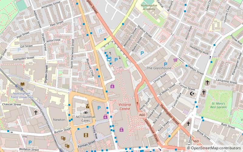
Map
Gallery
Facts and practical information
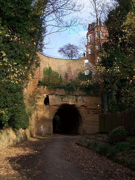
Many of the tunnels of Nottingham were built by three railway companies in and around Nottingham, England because their lines crossed substantial hills. The companies were the Great Northern Railway, the Great Central Railway, and the Nottingham Suburban Railway. ()
Coordinates: 52°57'30"N, 1°8'52"W
Address
St. Ann'sNottingham
ContactAdd
Social media
Add
Day trips
Tunnels of Nottingham – popular in the area (distance from the attraction)
Nearby attractions include: Nottingham Council House, Pryzm, Victoria Centre, Victoria Centre.
Frequently Asked Questions (FAQ)
Which popular attractions are close to Tunnels of Nottingham?
Nearby attractions include Planet Bounce - Indoor Trampoline Park, Nottingham (2 min walk), Nottingham Urban Area, Nottingham (4 min walk), Aqua Horological Tintinnabulator, Nottingham (5 min walk), Shakespeare Street Wesleyan Reform Chapel, Nottingham (5 min walk).
How to get to Tunnels of Nottingham by public transport?
The nearest stations to Tunnels of Nottingham:
Bus
Tram
Train
Bus
- Victoria Bus Station • Lines: 141, 331, 3A, 3B, 3C, Pronto, Rainbow 1, Sa, Two (2 min walk)
- Victoria Centre • Lines: Calverton Connection (2 min walk)
Tram
- Royal Centre • Lines: 1, 2 (8 min walk)
- Nottingham Trent University • Lines: 1, 2 (8 min walk)
Train
- Nottingham (20 min walk)


