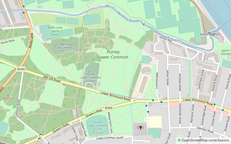
Putney Lower Common, London
Map
Facts and practical information
Putney Lower Common is an open parkland space in the London Borough of Wandsworth between the town centres of Putney and Barnes. It is part of Wimbledon and Putney Commons, lying 1.5 miles from the rest of the common area. ()
Elevation: 20 ft a.s.l.Coordinates: 51°28'11"N, 0°13'50"W
Address
Wandsworth (Thamesfield)London
ContactAdd
Social media
Add
Getting there by public transportation
Public transportation stops near this location
- Metro
- Bus
- Train
- Ferry
 Metro
Metro
- Calculate routeCommondale 5 min walk
- Calculate routeFesting Road 9 min walk
- Calculate routeRanelagh Avenue 9 min walk
- Calculate routeWoodborough Road 11 min walk
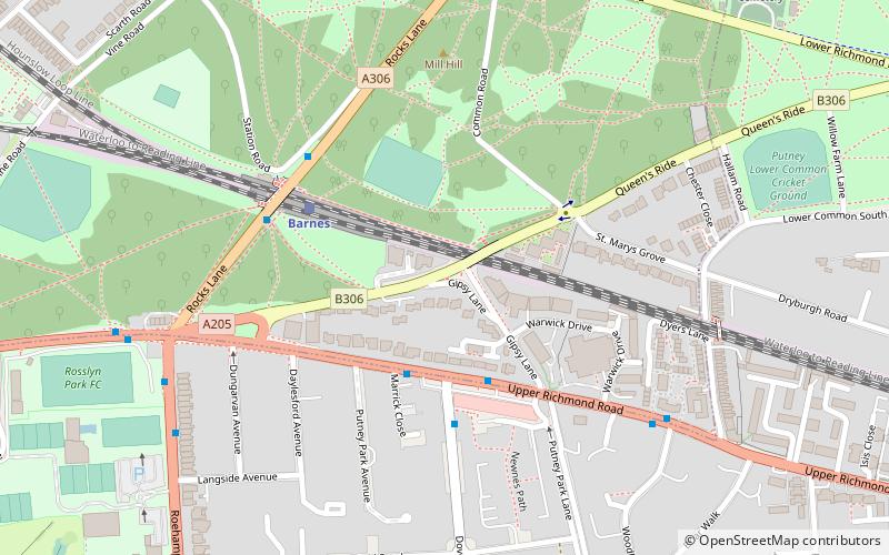
- Calculate routeBarnes 13 min walk
- Calculate routePutney 23 min walk
- Calculate routeBarnes Bridge 25 min walk
- Calculate routePutney Pier 18 min walk
- Calculate routePutney Bridge 25 min walk
- Calculate routeEast Putney 29 min walk
Maps Tube
Tube
TubeDay trips


Frequently Asked Questions (FAQ)
Which popular attractions are close to Putney Lower Common?
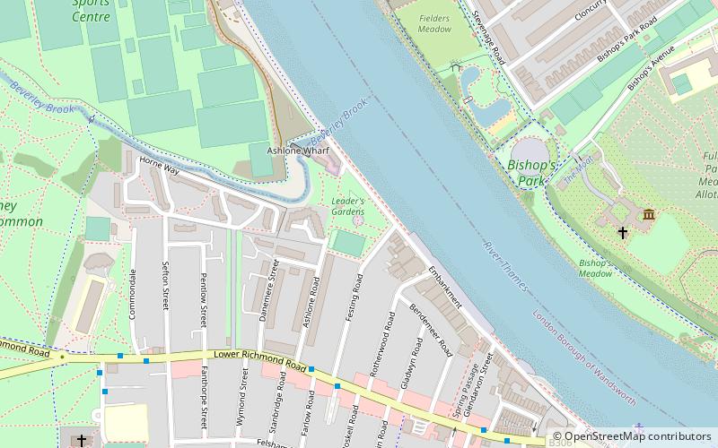
Nearby attractions include Putney Lower Common Cemetery, London (2 min walk), Barnes Cemetery, London (5 min walk), Barn Elms, London (8 min walk), Leader's Gardens, London (10 min walk).
How to get to Putney Lower Common by public transport?
The nearest stations to Putney Lower Common:
Bus
Train
Ferry
Metro
Bus
- Commondale • Lines: 22, 265, 378, 485, N22, N33, N72 (5 min walk)
- Festing Road • Lines: 22, 265, 378, 485, N22, N33, N72 (9 min walk)
Train
- Barnes (13 min walk)
- Putney (23 min walk)
Ferry
- Putney Pier • Lines: Rb6 (18 min walk)
Metro
- Putney Bridge • Lines: District (25 min walk)
- East Putney • Lines: District (29 min walk)