Queendown Warren, Kent Downs
Map

Map

Facts and practical information
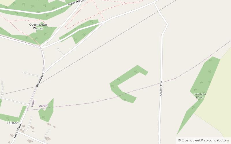
Queendown Warren is a 22.2-hectare biological Site of Special Scientific Interest south-east of Rainham in Kent. It is a Local Nature Reserve, a Nature Conservation Review site, Grade 2, and a Special Area of Conservation. It is in the Kent Downs Area of Outstanding Natural Beauty. It is managed by the Kent Wildlife Trust, and part of it is owned by Plantlife. ()
Elevation: 236 ft a.s.l.Coordinates: 51°19'60"N, 0°37'30"E
Address
Kent Downs
ContactAdd
Social media
Add
Day trips
Queendown Warren – popular in the area (distance from the attraction)
Nearby attractions include: Bredgar and Wormshill Light Railway, Berengrave Chalk Pit, Hempstead Valley Shopping Centre, Sittingbourne & Milton Regis Golf Club.
Frequently Asked Questions (FAQ)
How to get to Queendown Warren by public transport?
The nearest stations to Queendown Warren:
Bus
Bus
- Rumstead Lane • Lines: 334 (33 min walk)
- Lovelace Close • Lines: 116 (37 min walk)


