Royal Pharmaceutical Society, London
Facts and practical information
The Royal Pharmaceutical Society is the body ostensibly responsible for the leadership and support of the pharmacy profession within England, Scotland and Wales. It was created along with the General Pharmaceutical Council in September 2010 when the previous Royal Pharmaceutical Society of Great Britain was split so that representative and regulatory functions of the pharmacy profession could be separated. Membership of the society is not a prerequisite for engaging in practice as a pharmacist within the United Kingdom. It is not known how many pharmacists opted to join the Society. Its predecessor the Pharmaceutical Society of Great Britain was founded on 15 April 1841. ()
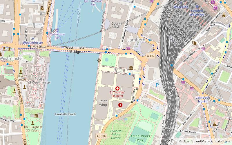
Lambeth (Bishop's)London
Royal Pharmaceutical Society – popular in the area (distance from the attraction)
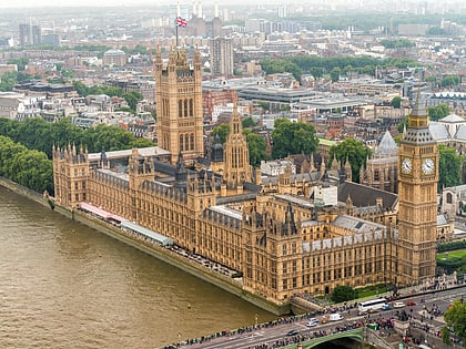
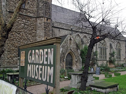
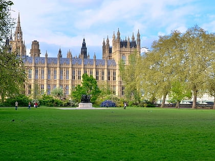
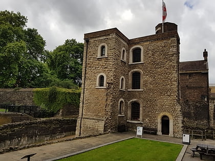
Nearby attractions include: Palace of Westminster, Garden Museum, Victoria Tower Gardens, Jewel Tower.
Frequently Asked Questions (FAQ)
Which popular attractions are close to Royal Pharmaceutical Society?
How to get to Royal Pharmaceutical Society by public transport?
Ferry
- Millbank Millennium Pier • Lines: Rb2 (8 min walk)
- Westminster Pier • Lines: Blue Tour, Green Tour, Rb1, Rb1X, Rb2, Red Tour (14 min walk)
Metro
- Lambeth North • Lines: Bakerloo (11 min walk)
- Westminster • Lines: Circle, District, Jubilee (14 min walk)
Train
- Vauxhall (16 min walk)
- London Waterloo (17 min walk)
Bus
- Durham Street / Harleyford Road • Lines: 185, 36, 436, N136 (16 min walk)
- Harleyford Road / Durham Street • Lines: 185, 36, 436, N136 (17 min walk)
 Tube
Tube