Sandys Row Synagogue, London
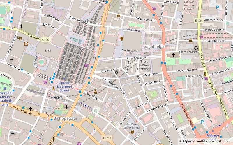
Map
Facts and practical information
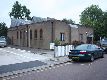
Sandy's Row Synagogue is a historic Grade II listed synagogue and former Christian church in the East End of London. Built by refugee French Huguenots in 1766, it was later converted into a Baptist chapel and in 1867 was acquired by a Jewish congregation. It is the oldest surviving Ashkenazi synagogue in London. ()
Address
4 Sandy's RowTower Hamlets (Spitalfields and Banglatown)London
ContactAdd
Social media
Add
Day trips
Sandys Row Synagogue – popular in the area (distance from the attraction)
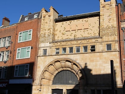
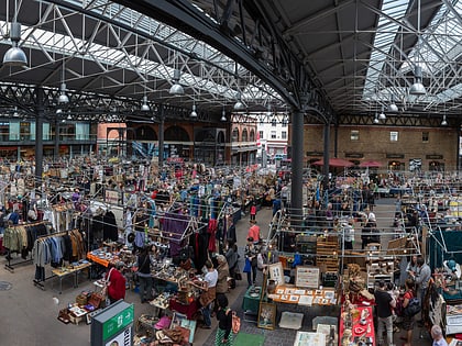
Nearby attractions include: Whitechapel Gallery, 30 St Mary Axe, Old Spitalfields Market, Baltic Exchange.
Frequently Asked Questions (FAQ)
Which popular attractions are close to Sandys Row Synagogue?
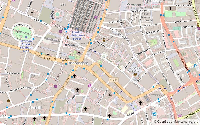
Nearby attractions include 56 Artillery Lane, London (2 min walk), Raven Row, London (2 min walk), Bishops Square, London (2 min walk), Bishopsgate Institute, London (2 min walk).
How to get to Sandys Row Synagogue by public transport?
The nearest stations to Sandys Row Synagogue:
Bus
Metro
Train
Light rail
Ferry
Bus
- Primrose Street • Lines: 26, 388, N242, N26 (4 min walk)
- Liverpool Street Station • Lines: 133, 26, 388, N133, N242, N26 (4 min walk)
Metro
- Liverpool Street • Lines: Central, Circle, Hammersmith & City, Metropolitan (5 min walk)
- Aldgate • Lines: Circle, Metropolitan (8 min walk)
Train
- Shoreditch High Street (10 min walk)
- London Fenchurch Street (13 min walk)
Light rail
- Tower Gateway Platform 1 • Lines: Tg-B (15 min walk)
- Bank Platform 9 • Lines: B-L, B-Wa (16 min walk)
Ferry
- Tower Millennium Pier • Lines: Rb1, Rb1X, Rb2, Red Tour (20 min walk)
- London Bridge City Pier • Lines: Rb1, Rb1X, Rb2, Rb6 (22 min walk)
 Tube
Tube