Scolt Head Island, North Norfolk Coast Site of Special Scientific Interest

Gallery (3)
Map

Map
Gallery
Facts and practical information
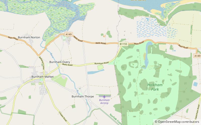
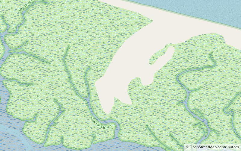
Scolt Head Island is an offshore barrier island between Brancaster and Wells-next-the-Sea in north Norfolk. It is in the parish of Burnham Norton and is accessed by a seasonal ferry from the village of Overy Staithe. The shingle and sand island appears to have originated from a former spit extending from the coast, and longshore drift means that it is slowly moving to the west and inshore. ()
Coordinates: 52°58'56"N, 0°42'24"E
Address
North Norfolk Coast Site of Special Scientific Interest
ContactAdd
Social media
Add
Day trips