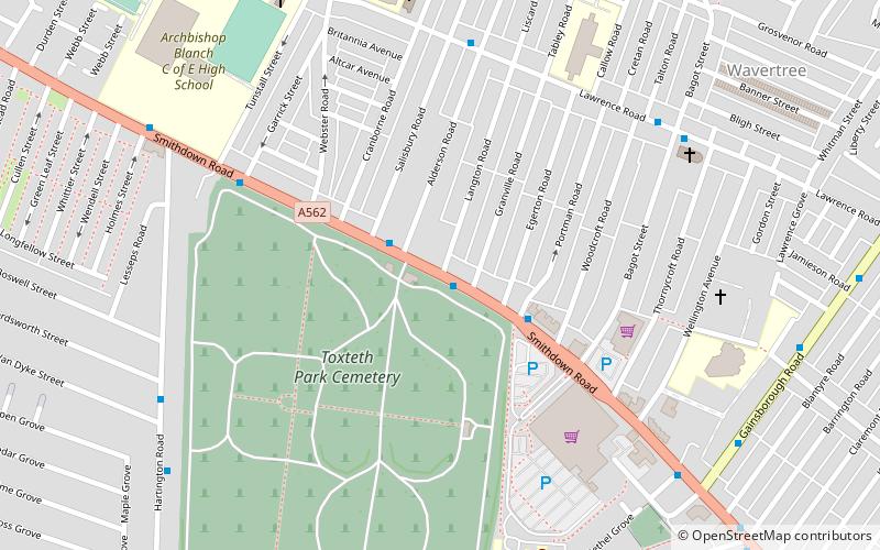
Smithdown Road, Liverpool

Gallery (1)
Map
Map
Facts and practical information
Smithdown Road is a historic street in Liverpool, England, which now forms part of the A562. The area was previously known as Smithdown and dates back to 1086 when it was listed in the Domesday Book. The causeway that actually became what is now Smithdown Road emerges in documentation around 1775. ()
Coordinates: 53°23'43"N, 2°56'20"W
Address
PictonLiverpool
ContactAdd
Social media
Add
Getting there by public transportation
Public transportation stops near this location
- Bus
- Train
 Bus
Bus
- Calculate routeEdge Hill 16 min walk
- Calculate routeWavertree Technology Park 25 min walk
- Calculate routeMossley Hill 39 min walk
- Calculate routePrescot Street/Royal Hospital 38 min walk
- Calculate routeBrunswick Road/Shaw Street B 42 min walk
Day trips


Frequently Asked Questions (FAQ)
Which popular attractions are close to Smithdown Road?
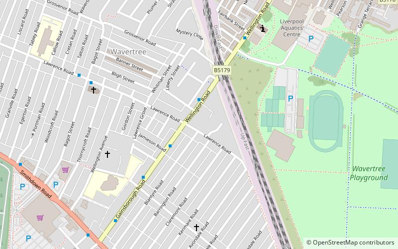
Nearby attractions include Toxteth Park Cemetery, Liverpool (4 min walk), Church of Saint Bridget, Liverpool (6 min walk), Church of St Clare, Liverpool (8 min walk), Wavertree, Liverpool (8 min walk).
How to get to Smithdown Road by public transport?
The nearest stations to Smithdown Road:
Train
Bus
Train
- Edge Hill (16 min walk)
- Wavertree Technology Park (25 min walk)
Bus
- Prescot Street/Royal Hospital • Lines: 18 (38 min walk)
- Brunswick Road/Shaw Street B • Lines: 18 (42 min walk)