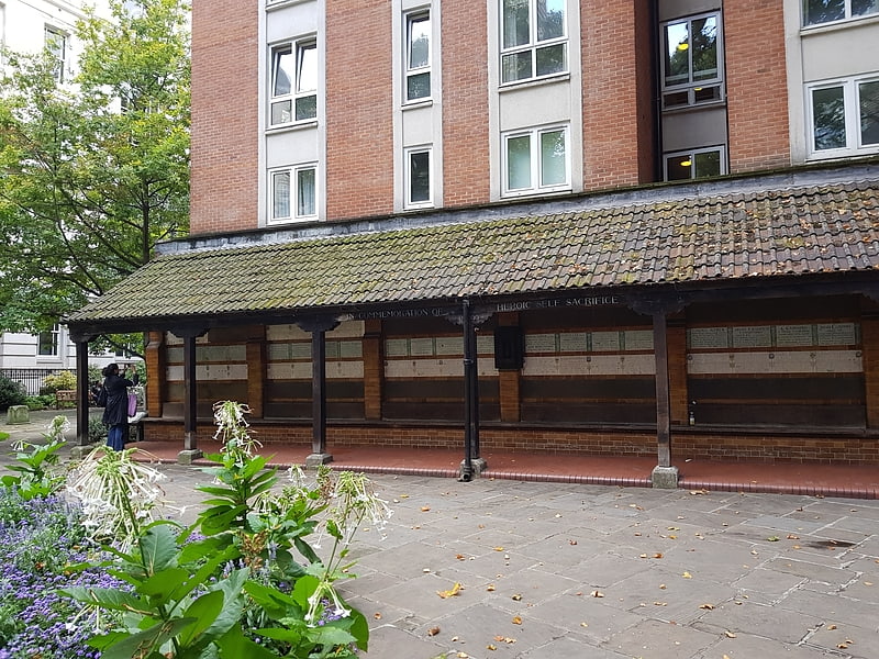
St Bartholomew-the-Less, London

Gallery (1)
Map
Map
Facts and practical information
St Bartholomew the Less was an Anglican parish in the City of London and the church of St Bartholomew's Hospital within the ancient hospital precincts. Since 1 June 2015 it has been a chapel of ease in the Parish of Great St Bartholomew, formed out of its parish and that of its neighbour St Bartholomew the Great ()
Coordinates: 51°31'4"N, 0°6'2"W
Address
City of London (Farringdon Without)London
ContactAdd
Social media
Add
Getting there by public transportation
Public transportation stops near this location
- Metro
- Bus
- Light rail
- Train
- Ferry
 Metro
Metro
- Calculate routeSt Bartholomew's Hospital 1 min walk
- Calculate routeLittle Britain 3 min walk
- Calculate routeKing Edward Street 4 min walk
- Calculate routeCity Thameslink Station 4 min walk
- Calculate routeBarbican 5 min walk
- Calculate routeSt. Paul's 5 min walk
- Calculate routeFarringdon 7 min walk
- Calculate routeMansion House 13 min walk
- Calculate routeCity Thameslink 6 min walk
- Calculate routeLondon Blackfriars 14 min walk
- Calculate routeBank 15 min walk
- Calculate routeLondon Cannon Street 17 min walk
- Calculate routeBlackfriars Pier 13 min walk
- Calculate routeBankside Pier 17 min walk
- Calculate routeLondon Bridge City Pier 27 min walk
- Calculate routeFestival Pier 27 min walk
- Calculate routeBank Platform 10 18 min walk
- Calculate routeTower Gateway Platform 1 32 min walk
Maps Tube
Tube
TubeDay trips


Frequently Asked Questions (FAQ)
Which popular attractions are close to St Bartholomew-the-Less?
Nearby attractions include Golden Boy of Pye Corner, London (2 min walk), St Bartholomew-the-Great, London (3 min walk), St Sepulchre-without-Newgate, London (3 min walk), Smithfield, London (3 min walk).
How to get to St Bartholomew-the-Less by public transport?
The nearest stations to St Bartholomew-the-Less:
Bus
Metro
Train
Ferry
Light rail
Bus
- St Bartholomew's Hospital • Lines: 56 (1 min walk)
- Little Britain • Lines: 56 (3 min walk)
Metro
- Barbican • Lines: Circle, Hammersmith & City, Metropolitan (5 min walk)
- St. Paul's • Lines: Central (5 min walk)
Train
- City Thameslink (6 min walk)
- London Blackfriars (14 min walk)
Ferry
- Blackfriars Pier • Lines: Rb6 (13 min walk)
- Bankside Pier • Lines: Green Tour, Rb1, Rb1X, Rb2 (17 min walk)
Light rail
- Bank Platform 10 • Lines: B-L, B-Wa (18 min walk)
- Tower Gateway Platform 1 • Lines: Tg-B (32 min walk)