Stargroves, Kintbury

Gallery (1)
Map
Map
Facts and practical information
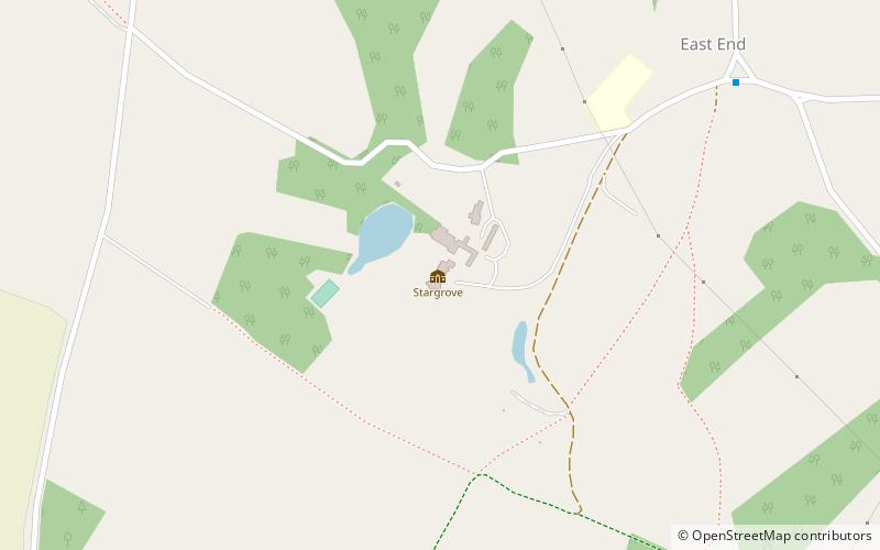
Stargroves is a manor house and associated estate at East Woodhay in the English county of Hampshire. The house belonged to Mick Jagger during the 1970s and was a recording venue for the Rolling Stones and various other rock bands, as well as a filming location for Doctor Who. ()
Coordinates: 51°20'47"N, 1°24'40"W
Address
Kintbury
ContactAdd
Social media
Add
Day trips