Test Way
#348 among destinations in the United Kingdom
Facts and practical information
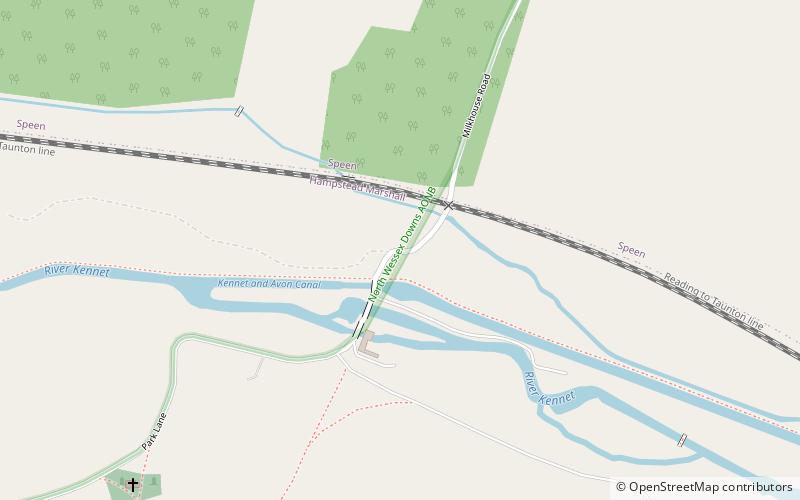
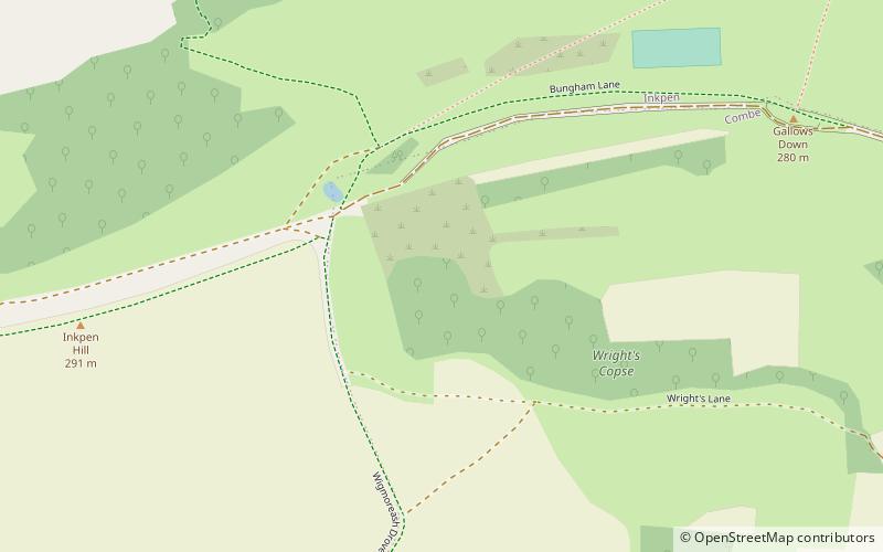
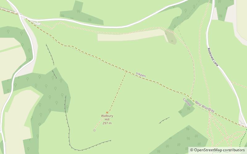
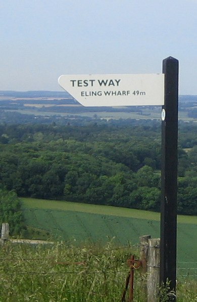
The Test Way is a 44-mile long-distance footpath in England from Walbury Hill in West Berkshire to Eling in Hampshire, which follows much of the course of the River Test. ()
EnglandUnited Kingdom
Test Way – popular in the area (distance from the attraction)
Nearby attractions include: Wayfarer's Walk, Dun Mill Lock, Wire Lock, Walbury Hill.
~1950 ftNWHiking, Hiking trailWayfarer's Walk
10 min walk • Nestled in the picturesque landscape of the United Kingdom, the Wayfarer's Walk is a haven for hiking enthusiasts and nature lovers alike. This enchanting hiking trail stretches over 70 miles, offering a magnificent journey through the rolling hills and verdant...
4.2 miNCanalDun Mill Lock
108 min walk • Dun Mill Lock is a lock on the Kennet and Avon Canal, near Hungerford, Berkshire, England. The lock has a rise/fall of 5 ft 8 in. It is a grade II listed building.
4 miNCanalWire Lock
101 min walk • Wire Lock is a lock on the Kennet and Avon Canal, near Hungerford, Berkshire, England. It is a grade II listed building.
~610 ftSWForts and castlesWalbury Hill, Hungerford
3 min walk • Walbury Hill is a summit of the North Wessex Downs in Berkshire, England. At 297 metres above sea level, it is the highest natural point in South East England. Walbury Hill is the starting point for both the Test Way and the Wayfarer's Walk footpaths.
1.8 miSENature, Natural attraction, HillPilot Hill
47 min walk • Pilot Hill is the highest summit in Hampshire, England, with a maximum elevation of 286 m. Around 2 miles to the northwest is Walbury Hill, the county top of Berkshire, which is 297 m high.
2.3 miEManor houseStargroves, Kintbury
60 min walk • Stargroves is a manor house and associated estate at East Woodhay in the English county of Hampshire. The house belonged to Mick Jagger during the 1970s and was a recording venue for the Rolling Stones and various other rock bands, as well as a filming location for Doctor Who.
4.1 miNECanalDreweatt's Lock
104 min walk • Dreweatt's Lock is a lock on the Kennet and Avon Canal, between Kintbury and Newbury, Berkshire, England. The lock has a rise/fall of 5 ft 9 in. It is a grade II listed building.
3.7 miNEForestIrish Hill Copse, Kintbury
96 min walk • Irish Hill Copse is a 15.9-hectare biological Site of Special Scientific Interest east of Kintbury in Berkshire. This site of coppiced ancient woodland includes an extensive area of calcareous ash/wych elm coppice on the hill sides, merging into wet ash/maple and acid oak/ash/hazel woodland with aspen, on the higher parts of the site.
3.6 miNCanalBrunsden Lock
92 min walk • Brunsdon Lock is a lock on the Kennet and Avon Canal, near Kintbury, Berkshire, England. The lock has a rise/fall of 4 ft 11 in. The Lock is also known as Brunsden Lock and was the site of a coal and grain merchant's business:Brunsdens for many years. It is a grade II listed building.
4.5 miNECanalCopse Lock, Kintbury
115 min walk • Copse Lock is a lock on the Kennet and Avon Canal, between Kintbury and Newbury, Berkshire, England. The lock has a rise/fall of 6 ft 0 in.
0.9 miWHillCombe Gibbet, Kintbury
23 min walk • Combe Gibbet is a gibbet at the top of Gallows Down, near the village and just within the civil parish of Combe in Berkshire.