Stoke-upon-Trent, Stoke-on-Trent

Gallery (2)
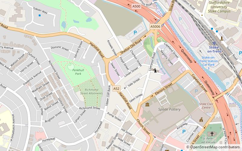
Map

Map
Gallery
Facts and practical information
Stoke-upon-Trent, commonly called Stoke is one of the six towns that along with Hanley, Burslem, Fenton, Longton and Tunstall form the city of Stoke-on-Trent, in Staffordshire, England. ()
Address
Hartshill and PenkhullStoke-on-Trent
ContactAdd
Social media
Add
Getting there by public transportation
Public transportation stops near this location
- Bus
- Train
 Bus
Bus
- Calculate routeStoke-on-Trent 8 min walk
- Calculate routeHanley Bus Station 32 min walk
Day trips


Frequently Asked Questions (FAQ)
Which popular attractions are close to Stoke-upon-Trent?
Nearby attractions include Our Lady of the Angels and St Peter in Chains Church, Stoke-on-Trent (4 min walk), Spode Museum, Stoke-on-Trent (4 min walk), Stoke Town Hall, Stoke-on-Trent (7 min walk), Stoke Minster, Stoke-on-Trent (8 min walk).
How to get to Stoke-upon-Trent by public transport?
The nearest stations to Stoke-upon-Trent:
Train
Bus
Train
- Stoke-on-Trent (8 min walk)
Bus
- Hanley Bus Station (32 min walk)