Orphanage Road, Birmingham
Map

Map

Facts and practical information
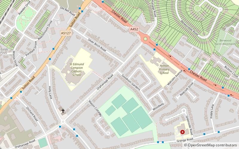
Orphanage Road is a road in Erdington and Wylde Green, Sutton Coldfield, West Midlands. Orphanage Road runs from Erdington Library, just before Erdington High Street, to Penns Lane, Sutton Coldfield and leads to Berwood Farm Rd and Welwyndale Rd. It covers the postcodes of B24 and B72. ()
Coordinates: 52°31'48"N, 1°49'37"W
Address
ErdingtonBirmingham
ContactAdd
Social media
Add
Day trips
Orphanage Road – popular in the area (distance from the attraction)
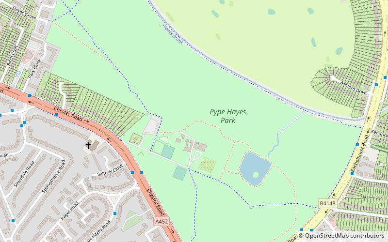
Nearby attractions include: Pype Hayes Park, St Barnabas' Church, Sentinel Sculpture, Short Heath Park.
Frequently Asked Questions (FAQ)
Which popular attractions are close to Orphanage Road?
Nearby attractions include Erdington Abbey, Birmingham (11 min walk), Emmanuel Church, Birmingham (14 min walk), St Barnabas' Church, Birmingham (18 min walk), Pype Hayes Park, Birmingham (21 min walk).
How to get to Orphanage Road by public transport?
The nearest stations to Orphanage Road:
Bus
Train
Bus
- Sutton Rd / Holly Lane • Lines: 28 (6 min walk)
- Orphanage Rd / Erdington Fire Station • Lines: 600, 66 (12 min walk)
Train
- Chester Road (12 min walk)
- Erdington (14 min walk)


