Joppa, Edinburgh
Map

Map

Facts and practical information
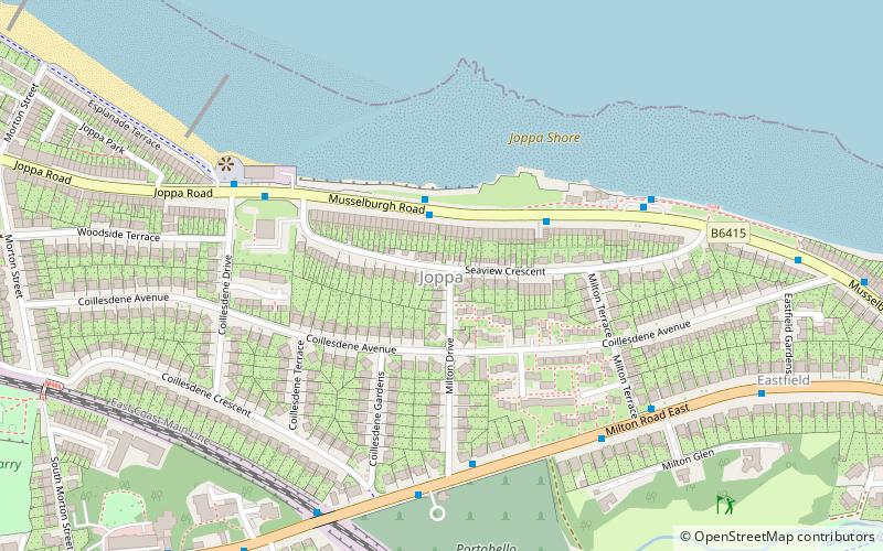
Joppa is an eastern suburb of Edinburgh, the capital of Scotland. It is bounded on the north by the coast of the Firth of Forth, on the west by Portobello of which it was a suburb when Portobello was a burgh, to the south by the open area south of Milton Road and to the east by Musselburgh in East Lothian. The name "Joppa" is of biblical origin, referring to the port of Jaffa in Israel, and was first bestowed on this part of Edinburgh in the 18th century. ()
Coordinates: 55°56'52"N, 3°5'28"W
Address
JoppaEdinburgh
ContactAdd
Social media
Add
Day trips
Joppa – popular in the area (distance from the attraction)
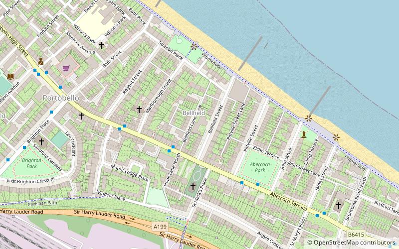
Nearby attractions include: Fisherrow Harbour, Fort Kinnaird, St John the Evangelist RC Church, Bellfield.
Frequently Asked Questions (FAQ)
Which popular attractions are close to Joppa?
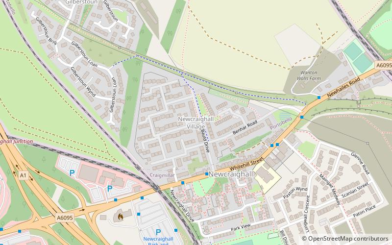
Nearby attractions include Newhailes House, Musselburgh (17 min walk), The Velvet Easel Gallery, Edinburgh (19 min walk), Bellfield, Edinburgh (19 min walk), Newcraighall, Edinburgh (21 min walk).
How to get to Joppa by public transport?
The nearest stations to Joppa:
Bus
Train
Bus
- Seaview Terrace • Lines: 124, 26 (2 min walk)
- Joppa Pans • Lines: 124, 26 (4 min walk)
Train
- Brunstane (15 min walk)
- Newcraighall (27 min walk)


