Niddrie, Edinburgh
Map

Map

Facts and practical information
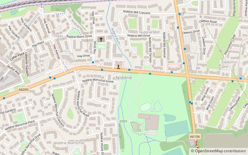
Niddrie is a residential suburb in Edinburgh, Scotland. It is situated in the south-east of the city, south-west of the seaside area of Portobello, and west of Musselburgh in East Lothian near Fort Kinnaird retail park. ()
Coordinates: 55°56'1"N, 3°7'7"W
Address
NiddrieEdinburgh
ContactAdd
Social media
Add
Day trips
Niddrie – popular in the area (distance from the attraction)
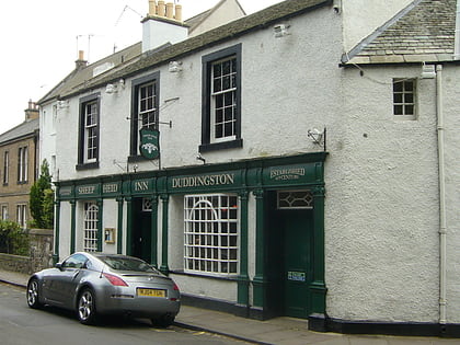
Nearby attractions include: Fort Kinnaird, Craigmillar Castle, Sheep Heid Inn, Duddingston Kirk.
Frequently Asked Questions (FAQ)
Which popular attractions are close to Niddrie?
Nearby attractions include Greendykes, Edinburgh (13 min walk), Robin Chapel, Edinburgh (14 min walk), Craigmillar, Edinburgh (20 min walk).
How to get to Niddrie by public transport?
The nearest stations to Niddrie:
Bus
Train
Bus
- Jack Kane Centre • Lines: 21, 400 (2 min walk)
- Hay Drive • Lines: 21, 400 (2 min walk)
Train
- Brunstane (23 min walk)
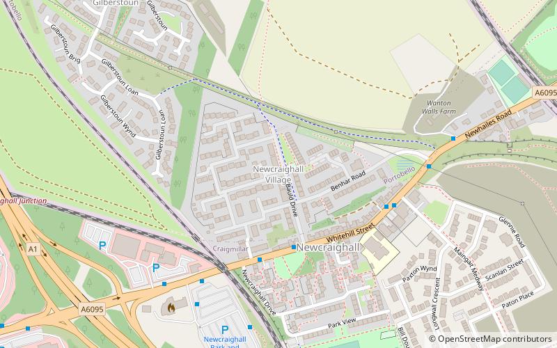
- Newcraighall (28 min walk)


