Denbighshire Coalfield, Wrexham
Map
Facts and practical information
The Denbighshire Coalfield in the historic county of Denbighshire in north-east Wales is one of the smaller British coalfields. It extends from near Caergwrle in the north, southwards through Wrexham, Ruabon and Rhosllannerchrugog to Chirk in the south. A small part extends into Shropshire around Oswestry. Beyond Caergwrle the coal-bearing strata continue northwards as the Flintshire Coalfield. Together the two coalfields are known as the North Wales Coalfield. ()
Coordinates: 53°3'3"N, 3°0'34"W
Address
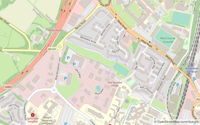
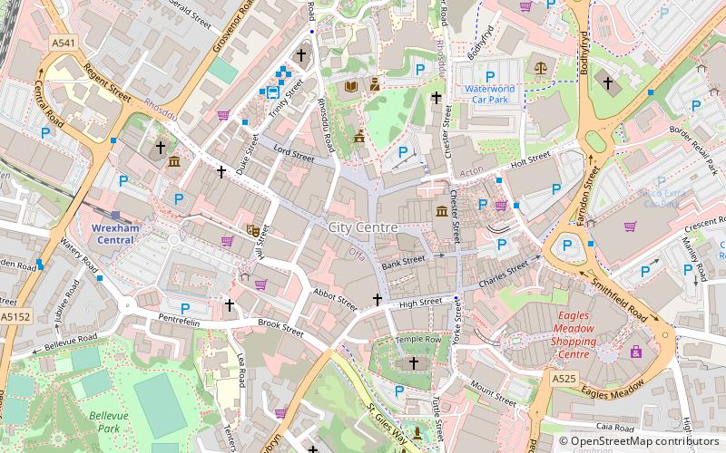
Wrexham
ContactAdd
Social media
Add
Getting there by public transportation
Public transportation stops near this location
- Bus
- Train
 Bus
Bus
- Calculate routeWrexham General 9 min walk
- Calculate routeWrexham Central 13 min walk
- Calculate routeWrexham Bus Station - Stand 1 15 min walk
- Calculate routeWrexham Bus Station 15 min walk
Day trips


Frequently Asked Questions (FAQ)
Which popular attractions are close to Denbighshire Coalfield?
Nearby attractions include Techniquest Glyndwr, Wrexham (8 min walk), Wrexham County Borough, Wrexham (11 min walk), Wrexham Cathedral, Wrexham (13 min walk), Bryn Offa, Wrexham (15 min walk).
How to get to Denbighshire Coalfield by public transport?
The nearest stations to Denbighshire Coalfield:
Train
Bus
Train
- Wrexham General (9 min walk)
- Wrexham Central (13 min walk)
Bus
- Wrexham Bus Station - Stand 1 • Lines: T3, Wrexham / Llangollen Express (15 min walk)
- Wrexham Bus Station (15 min walk)