Wrexham Town Centre, Wrexham

Map
Facts and practical information
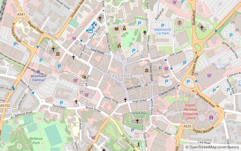
Wrexham Town Centre is the central business district of Wrexham, in North Wales and is the area enclosed by the inner ring road of the town. It is the largest shopping area in north and mid Wales, and the administrative centre of Wrexham County Borough. Many of its streets are pedestrianised. ()
Coordinates: 53°2'46"N, 2°59'38"W
Address
Wrexham
ContactAdd
Social media
Add
Day trips
Wrexham Town Centre – popular in the area (distance from the attraction)
Nearby attractions include: Eagles Meadow, St Giles' Church, Techniquest Glyndwr, Llwyn Isaf.
Frequently Asked Questions (FAQ)
Which popular attractions are close to Wrexham Town Centre?
Nearby attractions include Grove Park Theatre, Wrexham (3 min walk), Llwyn Isaf, Wrexham (3 min walk), St Giles' Church, Wrexham (4 min walk), Wrexham Cathedral, Wrexham (6 min walk).
How to get to Wrexham Town Centre by public transport?
The nearest stations to Wrexham Town Centre:
Bus
Train
Bus
- Wrexham Bus Station (4 min walk)
- Wrexham Bus Station - Stand 1 • Lines: T3, Wrexham / Llangollen Express (5 min walk)
Train
- Wrexham Central (7 min walk)
- Wrexham General (12 min walk)


