Batley Carr, Batley
Map

Map

Facts and practical information
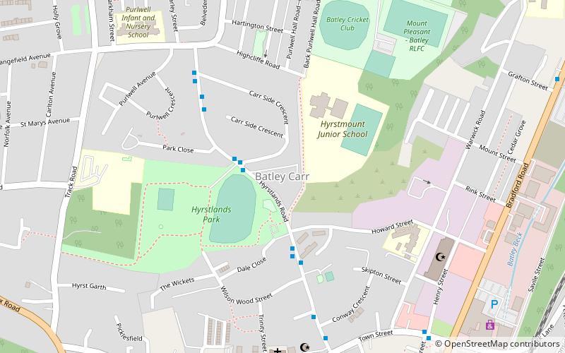
Batley Carr, West Yorkshire, England is a district partly in Dewsbury and partly in Batley, on the way to Dewsbury, along the A652, Bradford Road. Historically part of the West Riding of Yorkshire, the population is about 3,740. Crime is around the national average. ()
Coordinates: 53°42'16"N, 1°38'9"W
Address
Batley EastBatley
ContactAdd
Social media
Add
Day trips
Batley Carr – popular in the area (distance from the attraction)
Nearby attractions include: Mount Pleasant, Batley Town Hall, Crow Nest Park, Dewsbury Minster.
Frequently Asked Questions (FAQ)
Which popular attractions are close to Batley Carr?
Nearby attractions include Mount Pleasant, Batley (7 min walk), Staincliffe, Dewsbury (15 min walk), Batley Town Hall, Batley (17 min walk).


