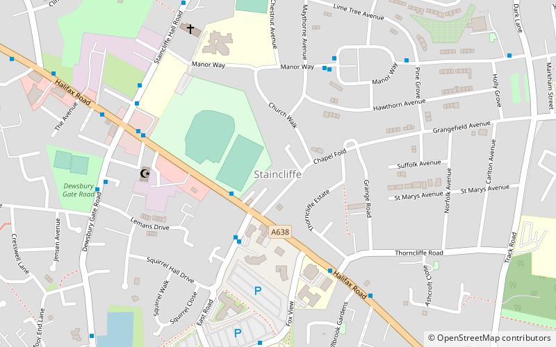
Staincliffe, Dewsbury

Gallery (1)
Map
Map
Facts and practical information
Staincliffe is a cross-over district of both Batley and Dewsbury, in West Yorkshire, England. Historically part of the West Riding of Yorkshire, the name is believed to derive from staine, meaning stone and cliffe, cliff. ()
Coordinates: 53°42'21"N, 1°38'58"W
Address
Batley WestDewsbury
ContactAdd
Social media
Add
Getting there by public transportation
Public transportation stops near this location
- Bus
- Train
 Bus
Bus
- Calculate routeBirkdale Road Dewsbury College 16 min walk
- Calculate routeBatley Bus Station 25 min walk
- Calculate routeDewsbury Bus station 34 min walk
- Calculate routeBatley 29 min walk
- Calculate routeDewsbury 30 min walk
Day trips


Frequently Asked Questions (FAQ)
Which popular attractions are close to Staincliffe?
Nearby attractions include Batley Carr, Batley (15 min walk), Mount Pleasant, Batley (19 min walk), Batley Town Hall, Batley (23 min walk).
How to get to Staincliffe by public transport?
The nearest stations to Staincliffe:
Bus
Train
Bus
- Birkdale Road Dewsbury College (16 min walk)
- Batley Bus Station (25 min walk)
Train
- Batley (29 min walk)
- Dewsbury (30 min walk)