Charleshill SSSI, Elstead

Gallery (1)
Map
Map
Facts and practical information
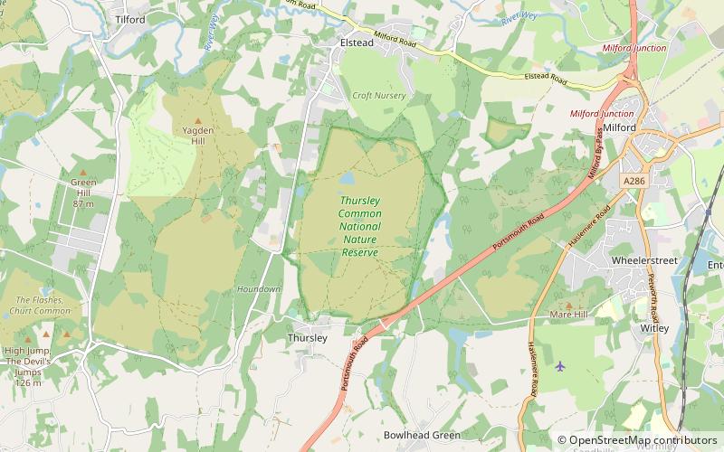
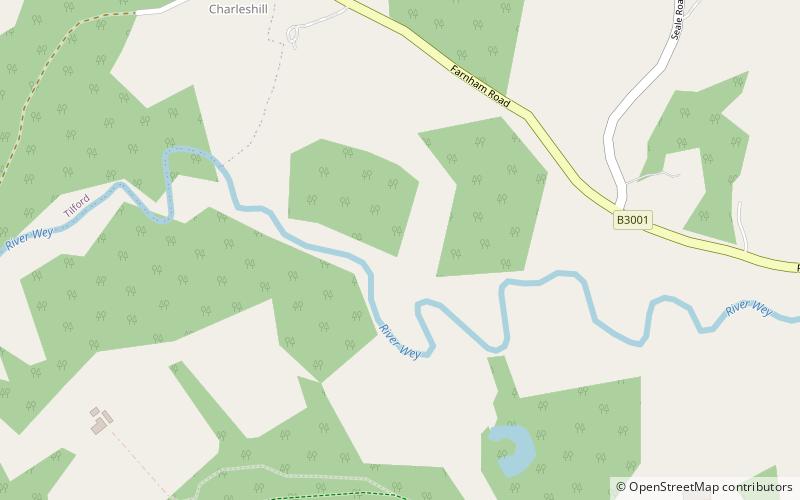
Charleshill SSSI is a 10.1-hectare biological Site of Special Scientific Interest west of Elstead in Surrey. It is part of Thundry Meadows nature reserve, which is owned and managed by the Surrey Wildlife Trust ()
Coordinates: 51°11'17"N, 0°43'16"W
Address
Elstead
ContactAdd
Social media
Add
Day trips