Central Mosque Wembley, London
Map
Map

Facts and practical information
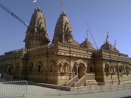
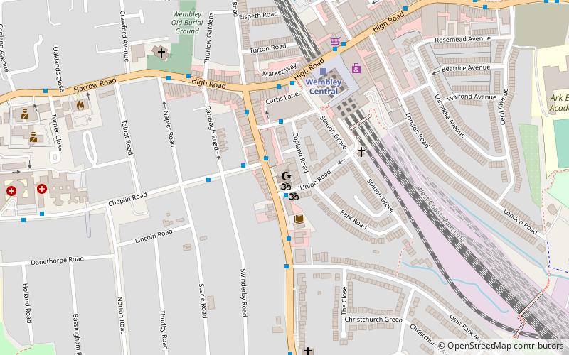
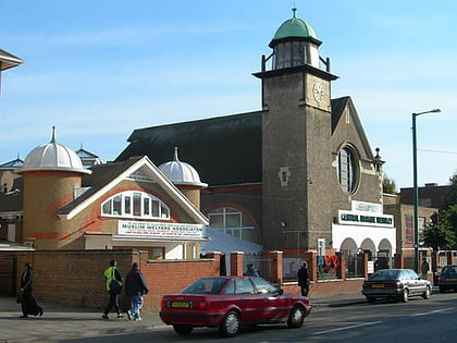
The Wembley Central Mosque is a mosque in the London Borough of Brent. The principal mosque in North West London, it is located on Ealing Road, Wembley, and serves the United Kingdom’s fifth largest Muslim community, which is predominantly Pakistani and Bangladeshi. Along with the adjacent Muslim Welfare Association, it can hold up to 2200 people. ()
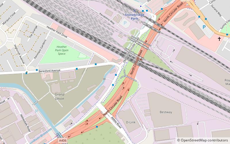
Coordinates: 51°33'1"N, 0°17'52"W
Address
Brent (Wembley)London
ContactAdd
Social media
Add
Day trips
Central Mosque Wembley – popular in the area (distance from the attraction)
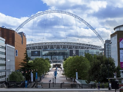
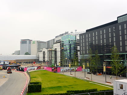
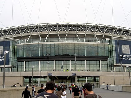
Nearby attractions include: Wembley Stadium, Horsenden Hill, London Designer Outlet, Statue of Bobby Moore.
Frequently Asked Questions (FAQ)
Which popular attractions are close to Central Mosque Wembley?
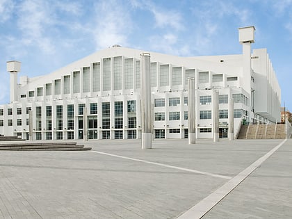
Nearby attractions include Wembley, London (13 min walk), Shree Sanatan Hindu Mandir, London (13 min walk), Wembley Arena, London (22 min walk), Statue of Bobby Moore, London (24 min walk).
How to get to Central Mosque Wembley by public transport?
The nearest stations to Central Mosque Wembley:
Bus
Metro
Train
Bus
- Ealing Road • Lines: 223, H17 (1 min walk)
- Chaplin Road • Lines: 297, 483, 79, 83, N83 (1 min walk)
Metro
- Wembley Central • Lines: Bakerloo (4 min walk)
- Alperton • Lines: Piccadilly (17 min walk)
Train
- Wembley Central (4 min walk)
- Wembley Stadium (16 min walk)
 Tube
Tube