Horsenden Hill, London
Map
Gallery
Facts and practical information
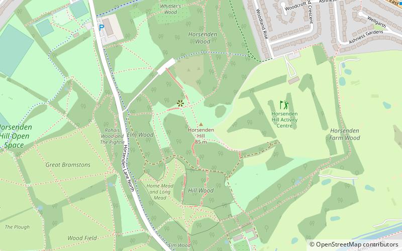
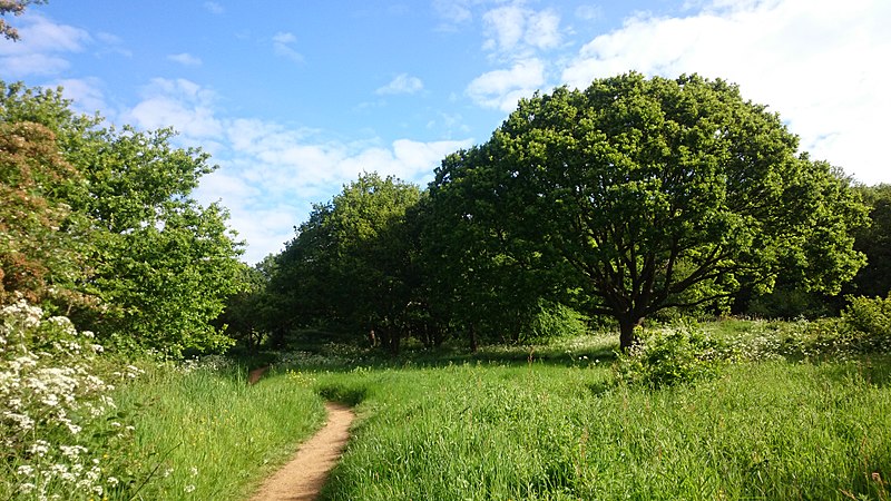
Horsenden Hill is a hill and open space, located between the Perivale, Sudbury, and Greenford areas of West London. It is in the London Borough of Ealing, close to the boundary with the London Borough of Brent. It is one of the higher eminences in the local area, rising to 85 m above sea level, and the summit forms part of the site of an ancient hillfort. It is the site of a trig point, TP4024. ()
Coordinates: 51°32'47"N, 0°19'32"W
Address
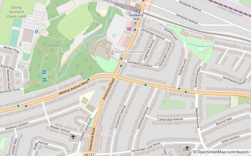
Ealing (North Greenford)London
ContactAdd
Social media
Add
Day trips
Horsenden Hill – popular in the area (distance from the attraction)
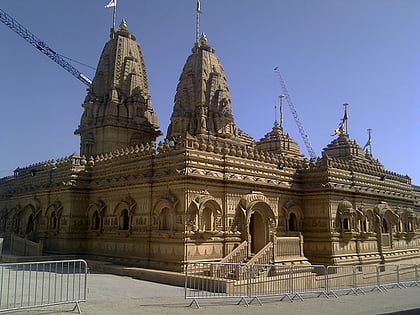
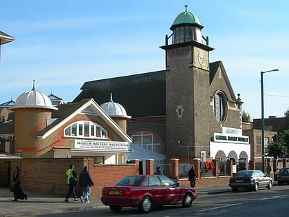
Nearby attractions include: London Motorcycle Museum, Shree Sanatan Hindu Mandir, Central Mosque Wembley, Litten Nature Reserve.
Frequently Asked Questions (FAQ)
Which popular attractions are close to Horsenden Hill?
Nearby attractions include Sudbury, London (15 min walk), Perivale, London (16 min walk), Sudbury Hill, Uxbridge (19 min walk).
How to get to Horsenden Hill by public transport?
The nearest stations to Horsenden Hill:
Bus
Metro
Train
Bus
- Whitton Drive • Lines: 487, H17 (10 min walk)
- Perivale Community Centre • Lines: 297 (10 min walk)
Metro
- Sudbury Town • Lines: Piccadilly (14 min walk)
- Perivale • Lines: Central (18 min walk)
Train
- Sudbury & Harrow Road (18 min walk)
- Sudbury Hill Harrow (25 min walk)

 Tube
Tube
