Werrington, Peterborough
Map

Map

Facts and practical information
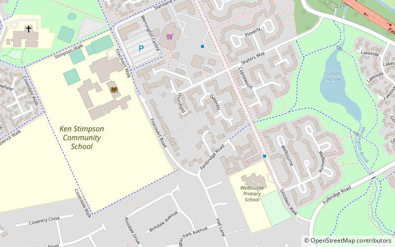
Werrington is a residential area of the city of Peterborough, Cambridgeshire in the United Kingdom. For electoral purposes it comprises North Werrington and South Werrington wards. Werrington spans an area of two and a half square miles and has a population of 14,800. ()
Coordinates: 52°37'9"N, 0°16'18"W
Address
Peterborough
ContactAdd
Social media
Add
Day trips
Werrington – popular in the area (distance from the attraction)
Nearby attractions include: Queensgate shopping centre, St Peter and All Souls, Thorpe Hall, Woodcroft Castle.
Frequently Asked Questions (FAQ)
How to get to Werrington by public transport?
The nearest stations to Werrington:
Bus
Bus
- Welbourne • Lines: 1 (4 min walk)
- The Green • Lines: 1 (8 min walk)


